|
|
 |
|
|
|
In October 2012 we sailed onboard RV Meteor from Las Palmas (Spain) to Cristobal (Panama).
In this blog you can follow our whereabouts.
|
|
 |
 |
|
Click on the Meteor for her present position (external link to sailwx site
|
|
|
|
 |
 |
|
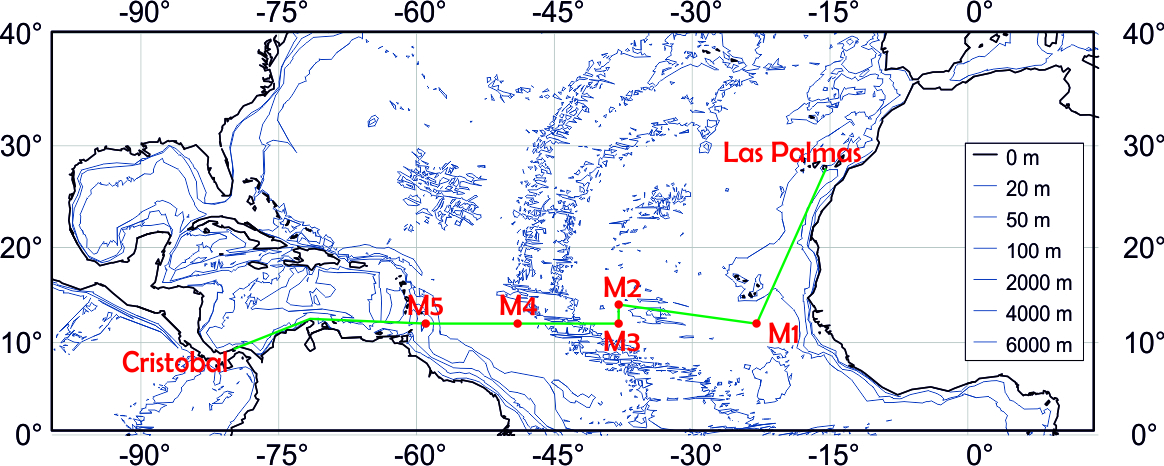
The route we´ll sail: from Las Palmas (Canary islands) via the Cape-Verdian islands to Cristobal, (the Atlantic side of the Panama-Canal). M1 to M5 indicate the mooring positions.
On the global map of vegetation (courtesy NASA) one can clearly see how the desert belts are lined up and that the Sahara is by far the largest desert on Earth.
|
|
 |
 |
|
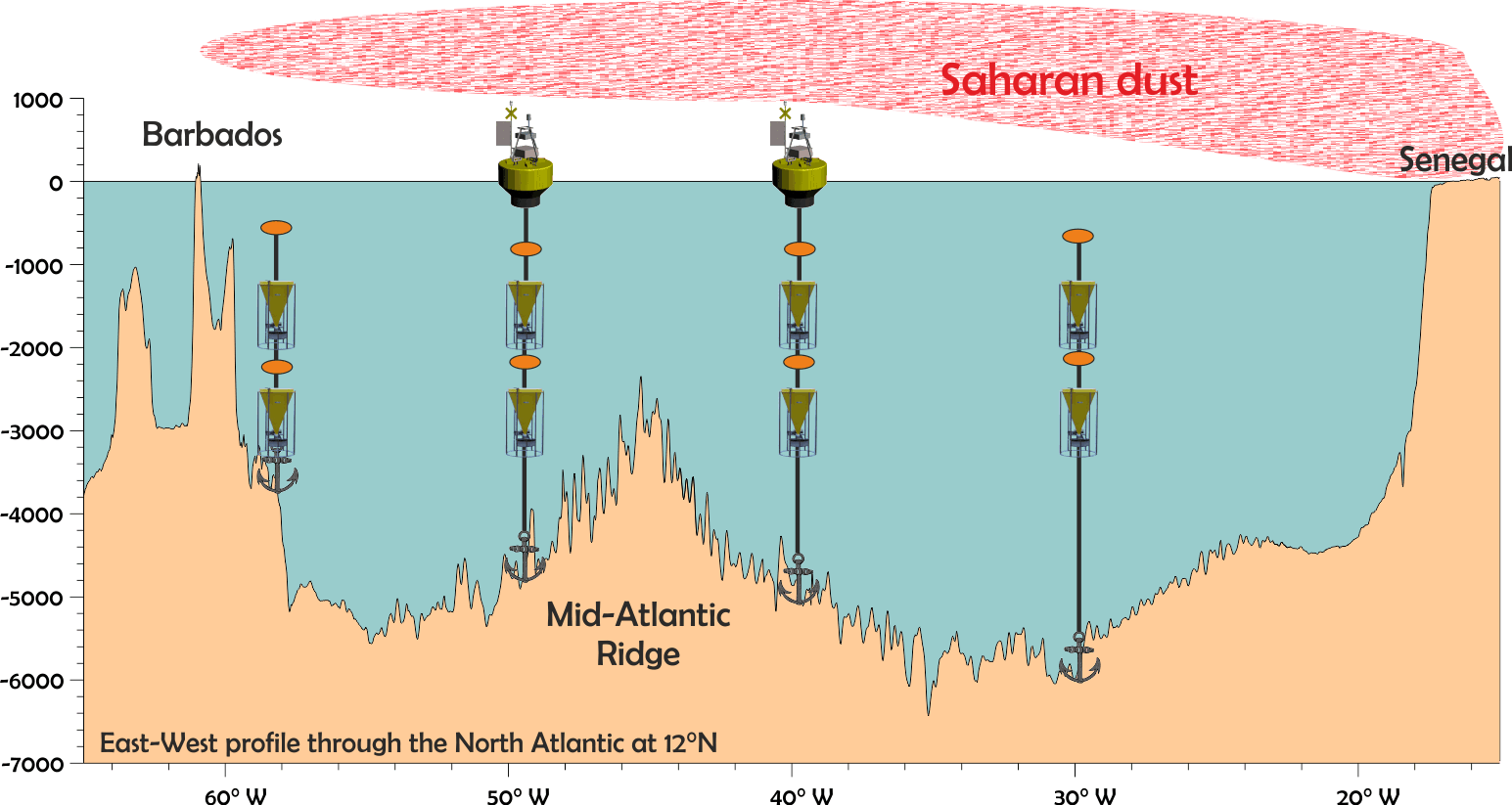
This is the eventual goal: an East-West transect at 12° North.
This image depicts the transect with four (of five) moorings consisting of sediment traps (yellow), floats (orange) and two floating dust collectors.
The sediment traps collect all material sinking through the water column, and obviously we´re hoping for lots of Saharan dust!
The floating dust collectors are not ready yet, they’ll hopefully be deployed during our next cruise in November 2013.
|
|
 |
|
|
 |
|
|
 |
 |
|
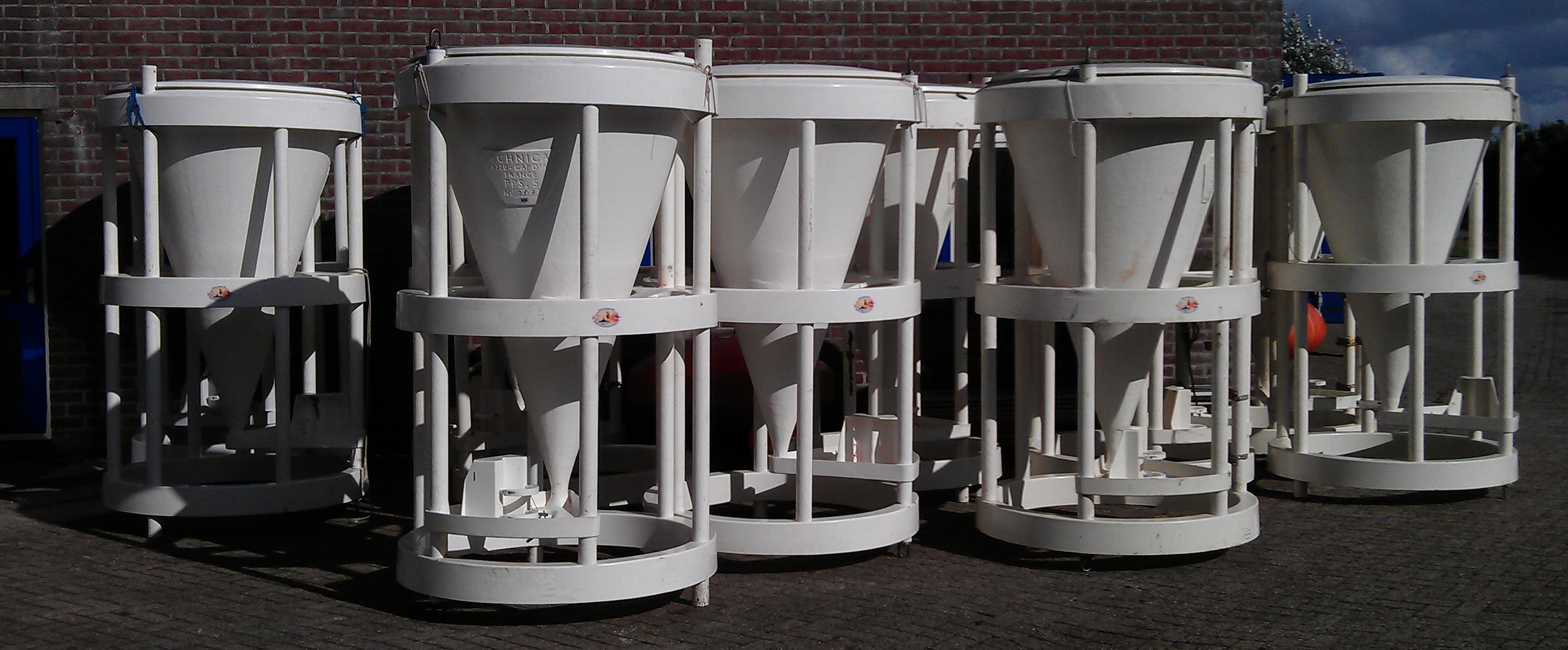
The sediment traps; about 2m high polyester funnels that end in a cup attached to a caroussel that contains 24 cups which rotate under the funnel’s end at a pre-programmed interval.
|
|
 |
 |
|
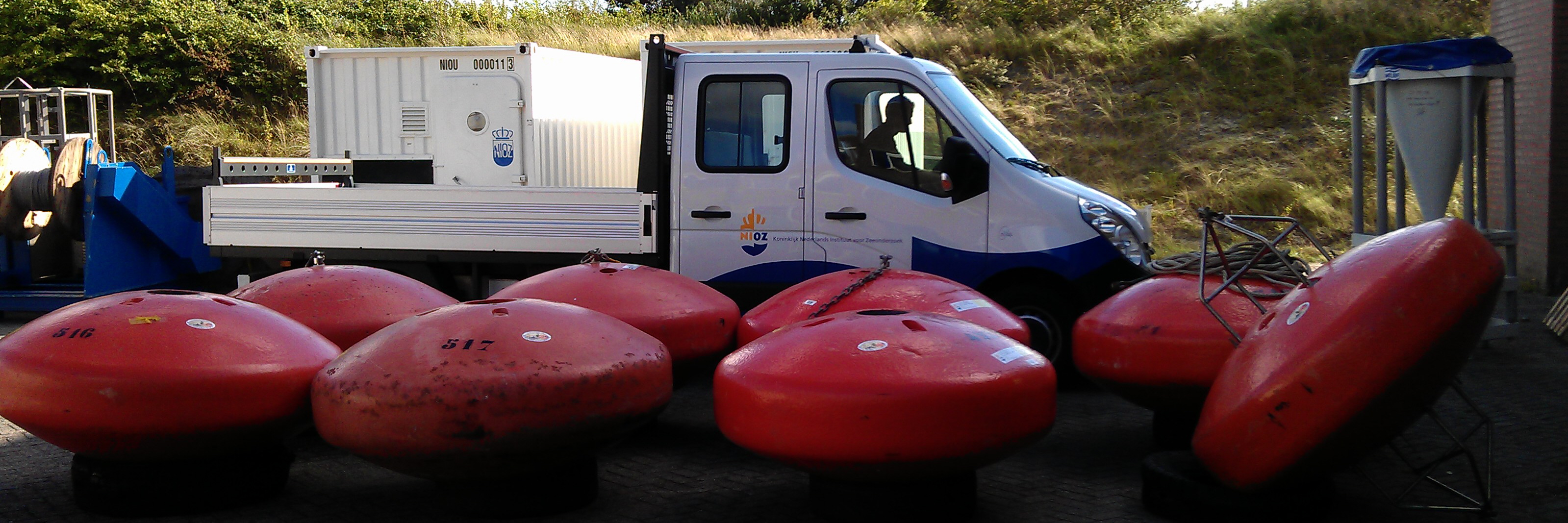
The smarties, floatation devices. Each smartie weighs about 300kg but can also lift about 350kg in water!
|
|
|
|
|
 |
 |
|
21 September
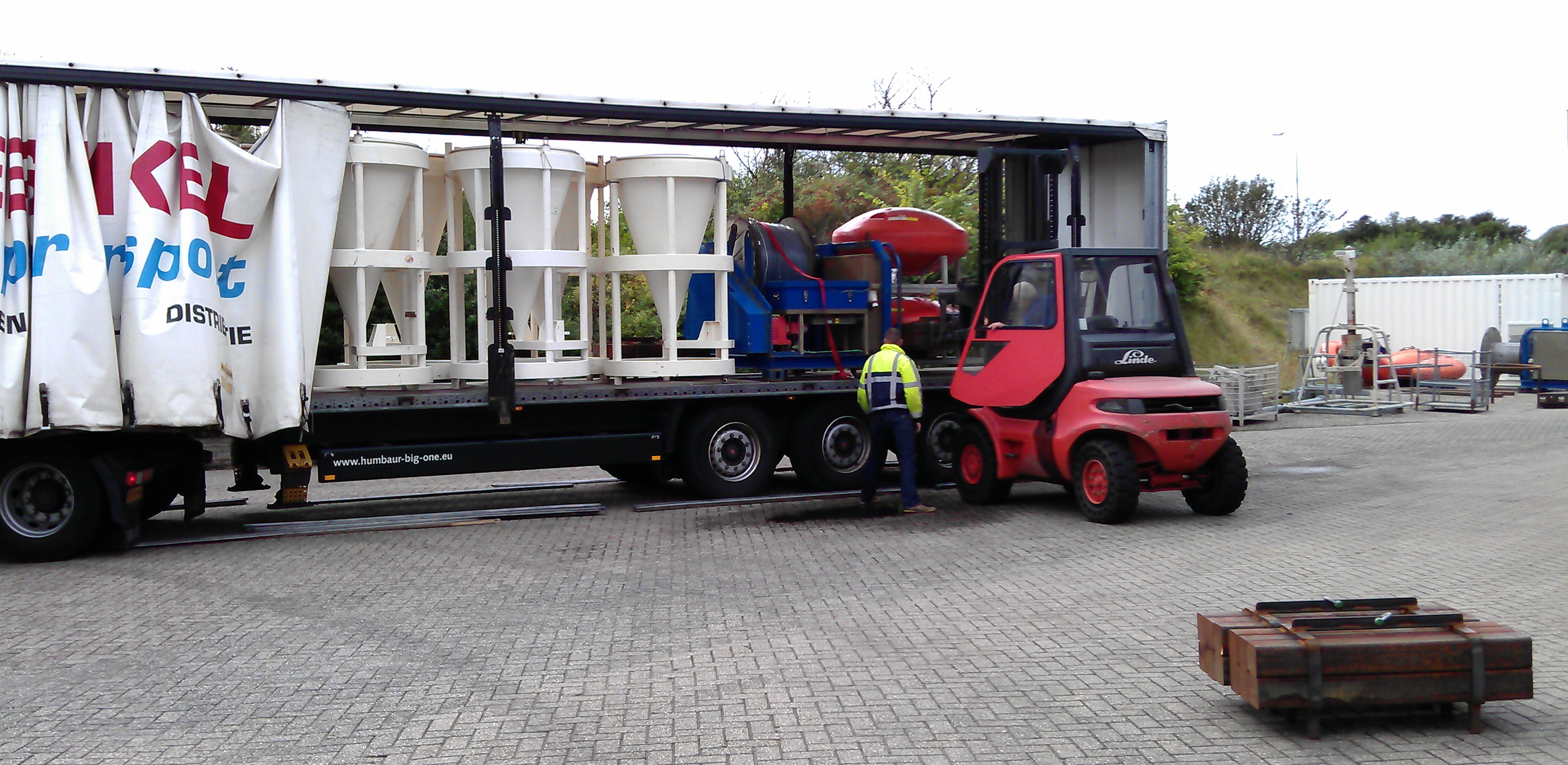
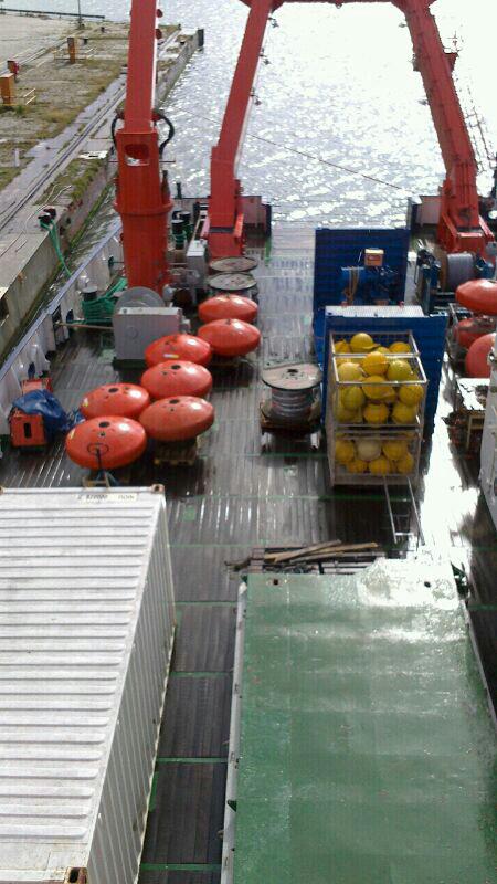
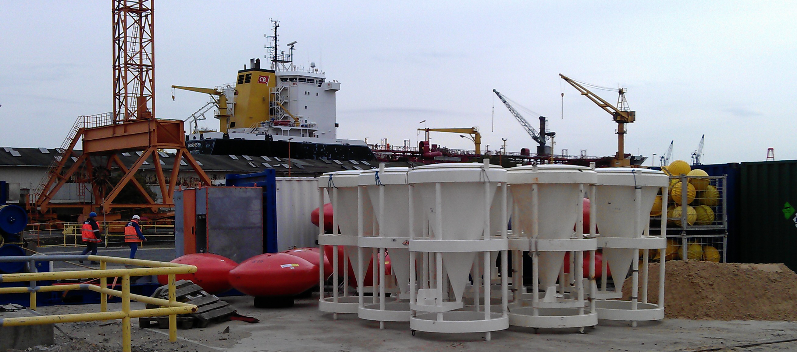
All our stuff was loaded onto four trucks and brought to Bremerhaven. Here you see most of the sediment traps.
In the foreground there´s an anchor of one of the moorings. This one weighs about 2 tons!
to top
The lower picture shows most of the smarties and some cables. All in all we´ll deploy about 16km of cable
|
|
 |
 |
 |
|
22 September
On Friday Piet Grisnigt (NIOZ) and 2 more drivers delivered all our gear in Bremerhaven at the pier where RV Meteor landed in the evening.
On Saturday Yvo Witte and Barry Boersen (both NIOZ) put everything on deck.
On Monday 24 September RV Meteor will depart for Las Palmas where she´ll port on 2 October (weather permitting). We´ll board there on 3rd October. Looking forward to that!
To top
|
|
|
|
 |
|
|
|
|
 |
 |
|
23 September
This afternoon Meteor set sail towards the North Sea. She is now sailing along Wadden islands, good luck against this storm!
to top
|
|
 |
 |
|
4 September
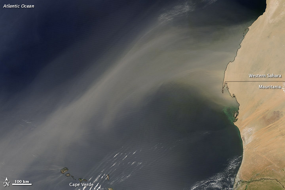
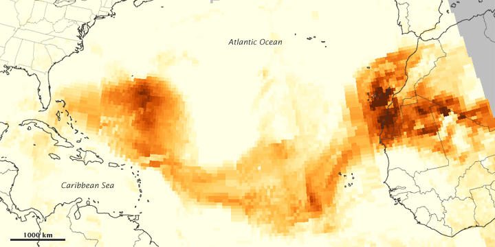
Thanks to satellites, we can now observe dust outbreaks very clearly. The big advantage of this is that we can actually see where the stuff is coming from and where it’s going to.
The image here shows a dust outbreak that occurred last July. According to the accompanying text on the NASA website the image was taken on 21 July 2012 but I assume this is actually a composite over more days.
naar top
|
|
|
 |
|
|
 |
 |
 |
|
26 September
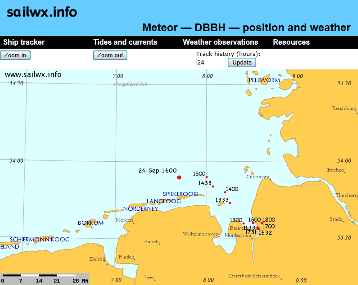
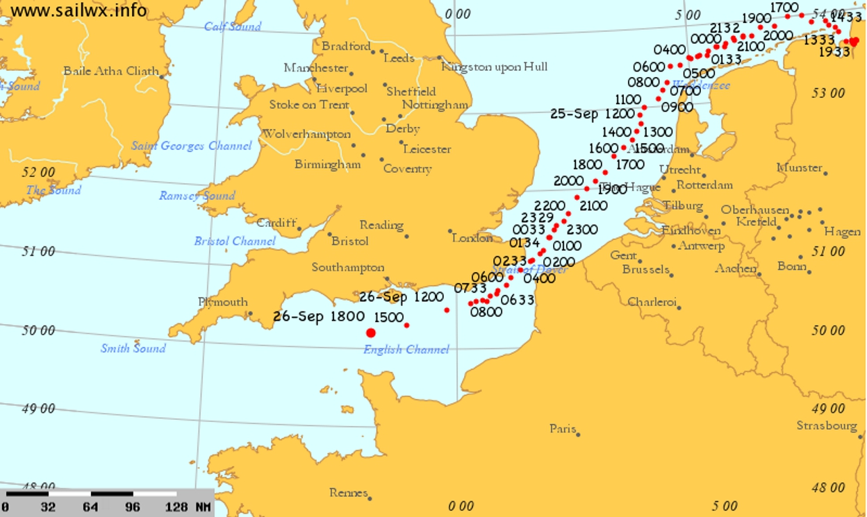
Directly after leaving Bremerhaven, the Meteor had to face a nasty storm (with outliers up to Bft 11!). Now she is in calmer waters, heading South along the Northwest French coast.
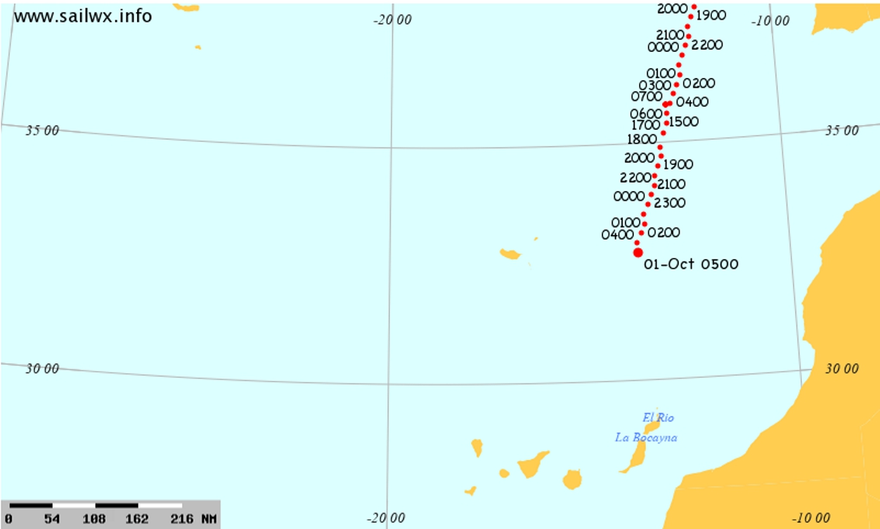
The image was taken from the sailwx website. At the top of this page youâ™ll find a link: clicking on the black ship will take you to this site.
Routinely, meteorological data are gathered on the ship as well. These data are transferred to a database on the shore, from which all kinds of meteorological surveys gather information. It might be that the daily weather report was (partially) based on the data that were collected on board Meteor!
So, should the weather forecast not be right, please inform the captain....
Meteor’s position is updated every hour, as indicated with the time stamps next to the red dots.
to top
|
 |
|
|
|
1 October
Despite very rough weather in both the North Sea as off Biscay, the Meteor is right in time for her port call in Las Palmas de Gran Canaria: well done captain and crew!
naar top
|
|
|
|
|
|
 |
 |
|
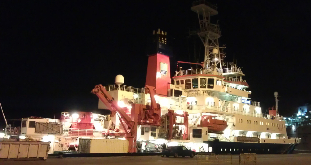
Meteor by night: quite a sight!
to top
|
|
 |
 |
|
1 October
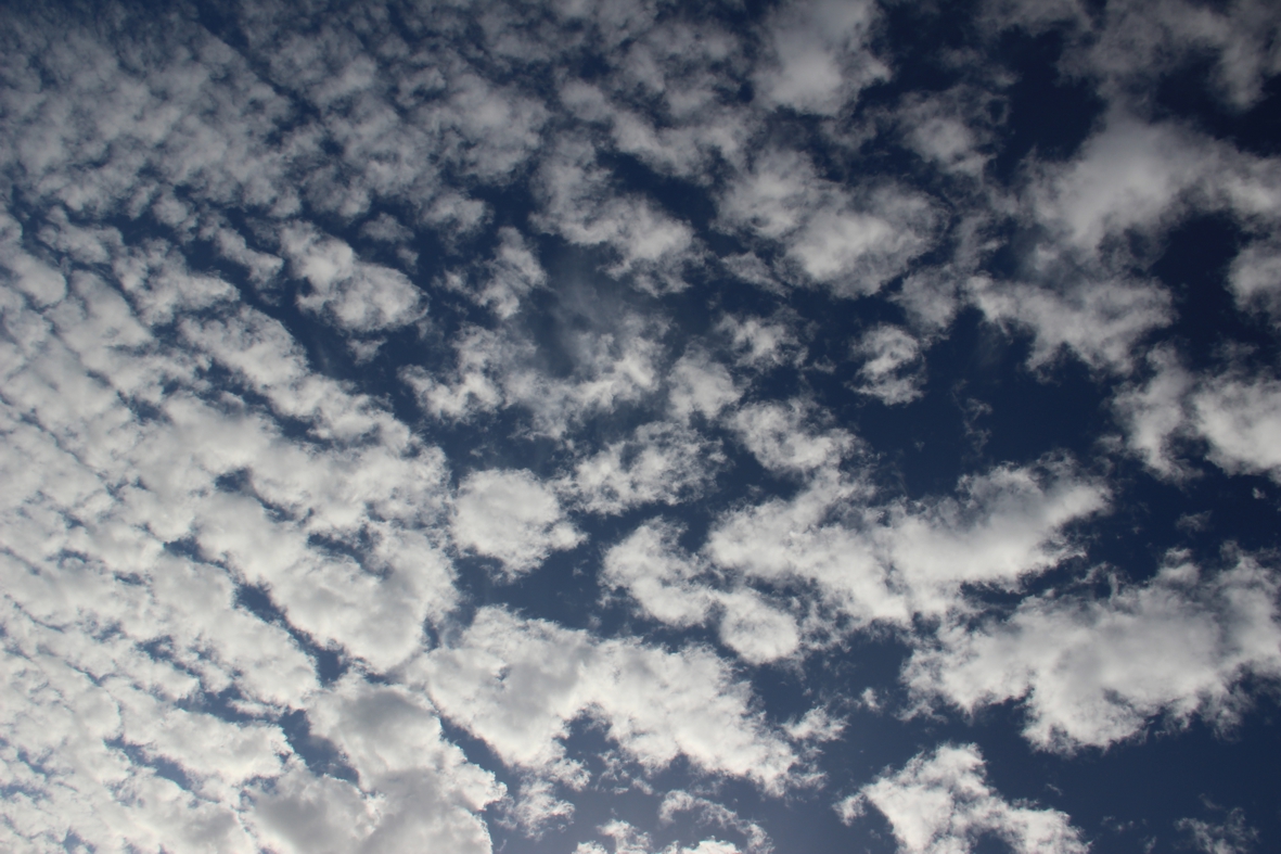
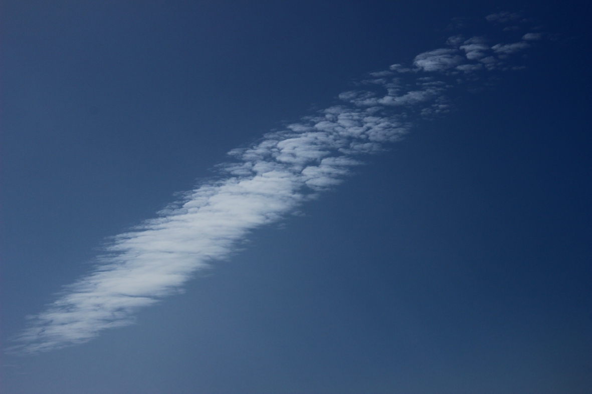
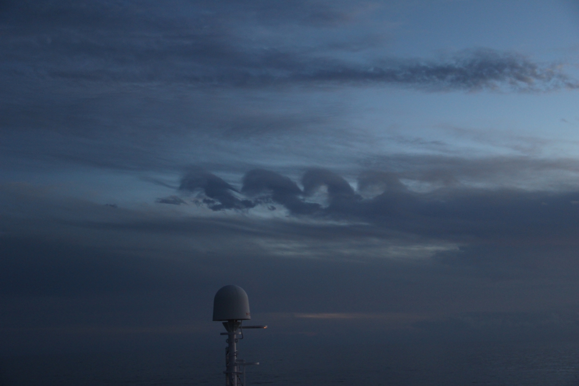
There are two Hamburg/University meteorology students on board (Matthias and Akio) who want to know all about cloud-formation processes.
This beautiful picture was made by Matthias Brück.
to top
|
|
|
|
|
 |
 |
|
4 October
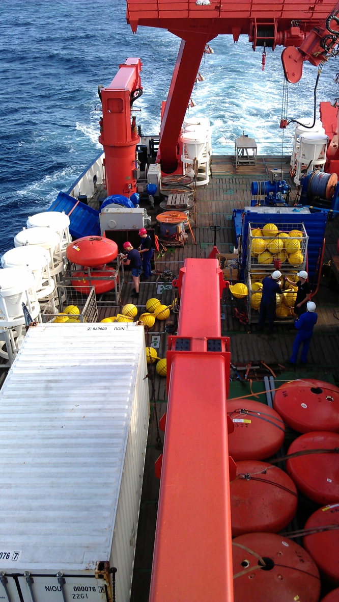
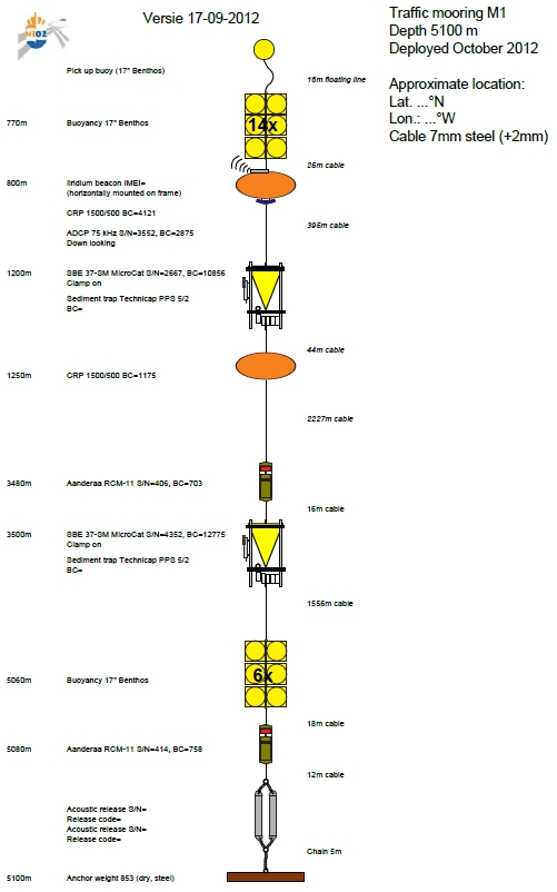
In two days we hope to deploy the first mooring. This involves quite some logistics: all instruments have to aligned in the right order! Yvo and Barry (both wearing white helmets in the middle of the photo) are arranging everything together with the ship´s crew.
On the picture you can see a fair number of orange smarties (floats) as well as yellow floats. In addition the 10 white sediment traps are all over the deck.
To the right is a schematic picture of what instruments a mooring is composed of
to top
|
|
|
|
 |
 |
|
 |
|
5 October
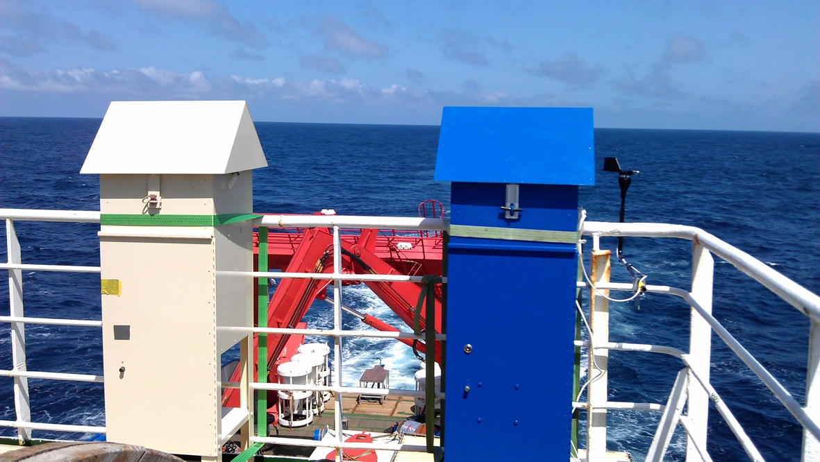
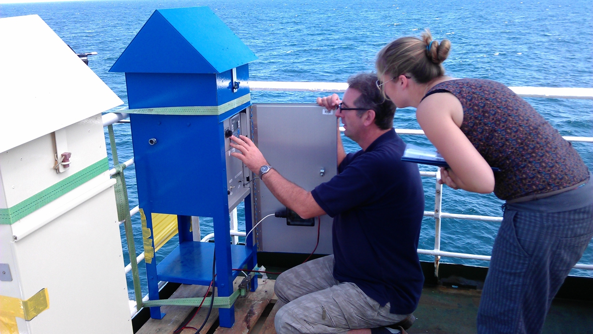
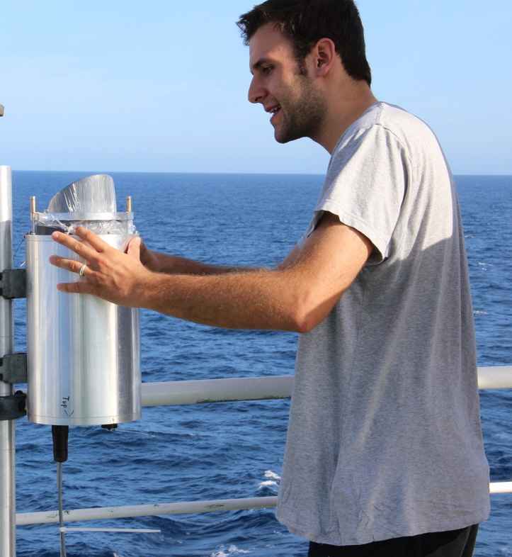
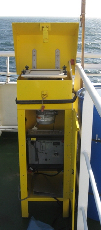
Here’s a short intro into dust collection.... The samplers are not much more than a vacuum-cleaner engine which sucks air through a filter. Behind the door there’s both the engine as well as the electronics registering the air flux, temperature, etc.
Directly under the hood the filter is mounted (see photo below).
to top
|
|
|
 |
|
|
|
 |
 |
 |
 |
|
 |
|
|
5 October
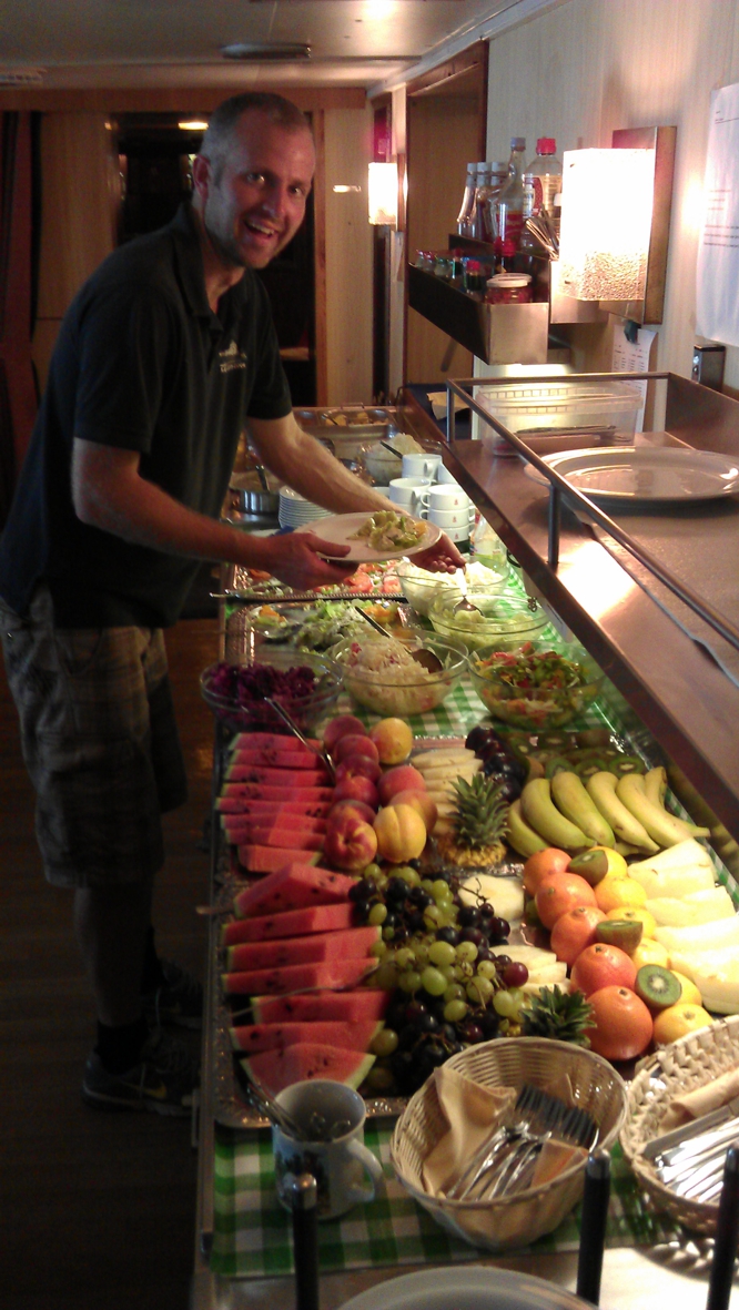
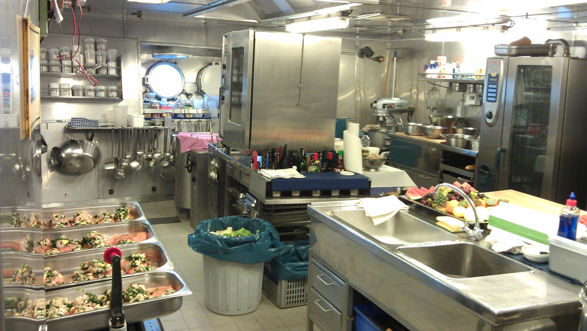
Here you can peek into the Meteor pantry. Today the menu included baked salmon; Klaus (the cook) and his colleagues spoil us!!
....see that happy look on Yvo’s face!?
naar top
|
|
|
|
|
|
 |
 |
|
6 October
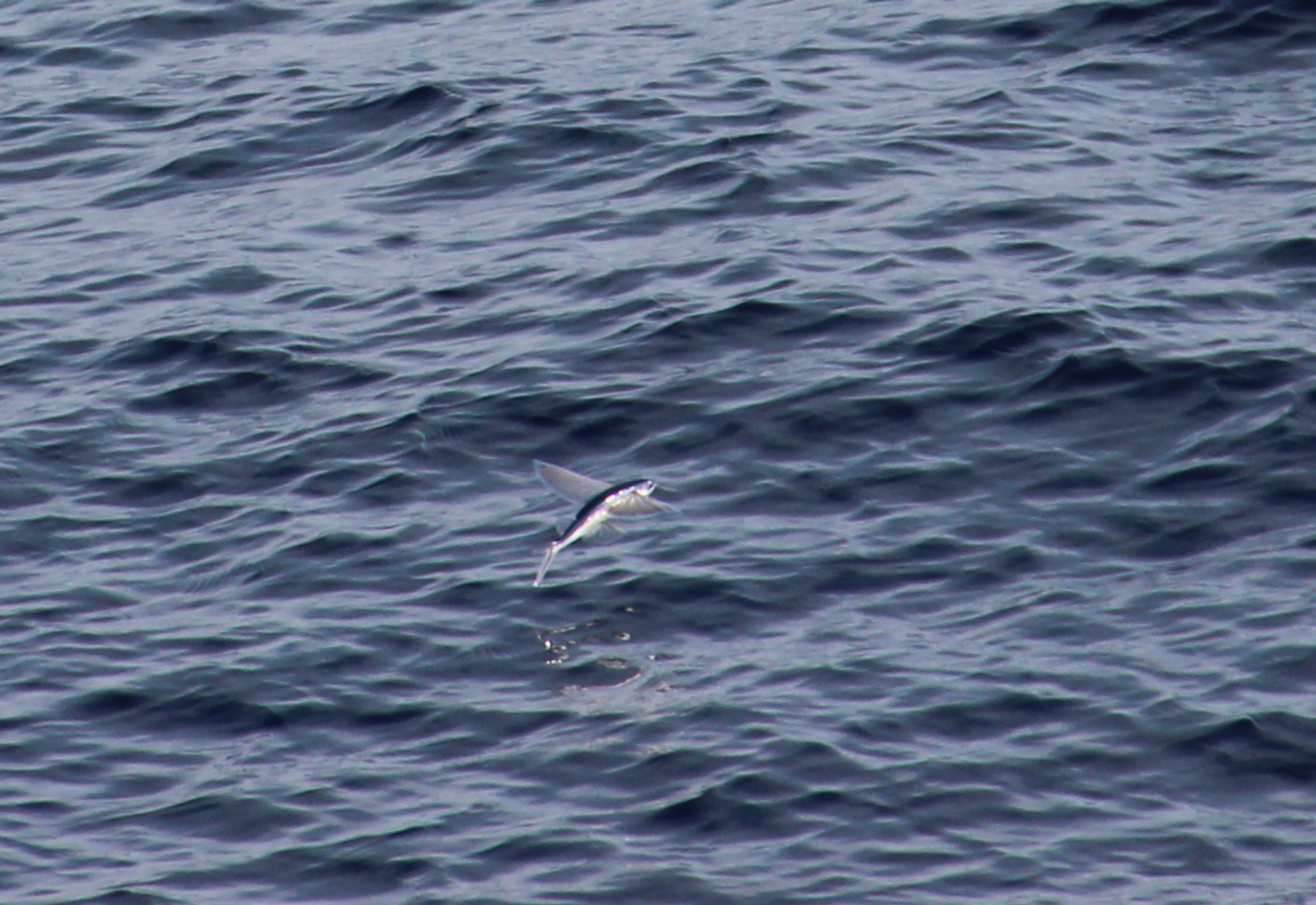
Flying fish DO exist!
Today we saw lots of these funny creatures that just pop out of the water unexpectedly. They’re not easily caught on camera, but Matthias managed to shoot one.
to toop
|
|
 |
 |
|
6 October
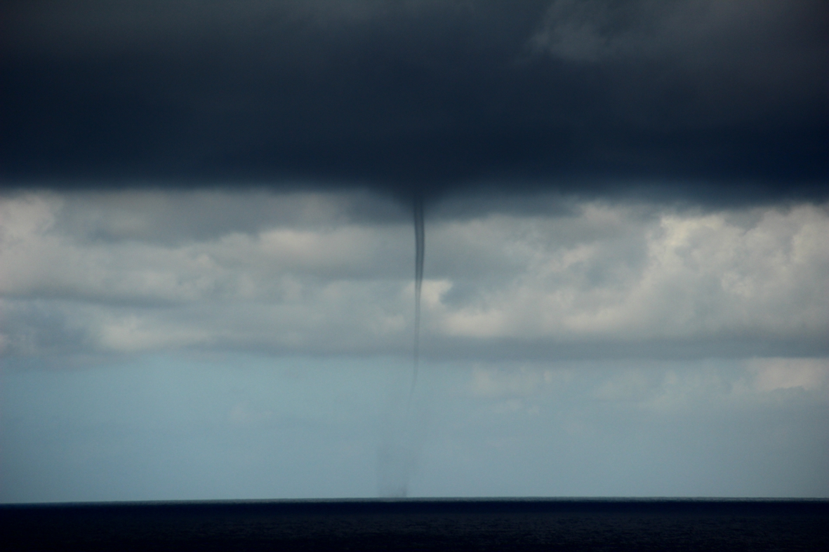
Water spouts sometimes reach down from the clouds and cause a mini-tornado.
to toop
|
|
|
|
|
 |
 |
|
6 October
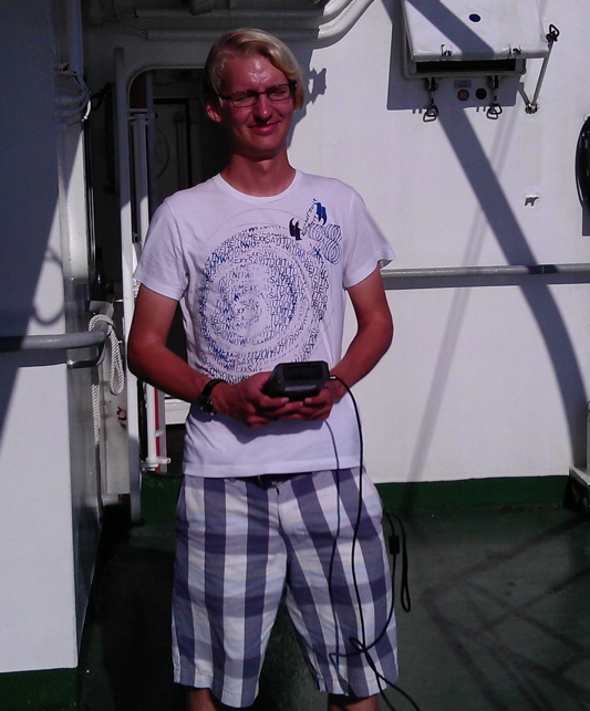
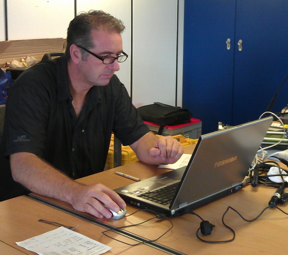
Time to introduce the scientific crew! Here you´ll find my six colleagues on board, each in their own working environment
The two meteorology students from Hamburg Matthias Brück (left) and Akio Hansen (right) study cloud-formation processes
|
|
|
 |
 |
|
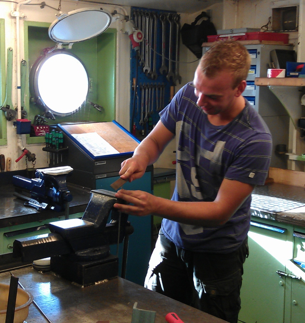
Barry (left) and Yvo (right, hidden: he’s a bit shy) both of NIOZ-MTM take care of assembling and deploying the moorings.
Just give these guys a piece of metal, wood, or plastic and they manage to transform it into an excellent tool!
|
|
|
|
|
|
 |
 |
|
Bob (NIOZ-GEO) is our electro-technician; he’d take any piece of equipment that has a power cable apart, modify it, and re-assemble it and most likely the tool works better than before. He is also responsible for the CTD deployments and assists Barry and Yvo with the moorings.
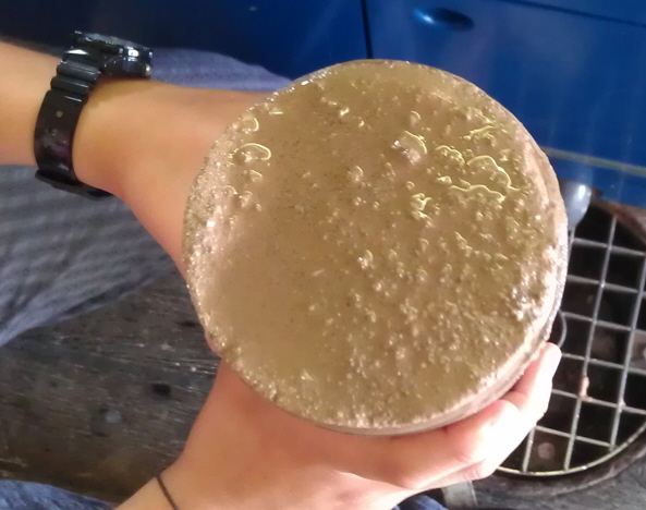
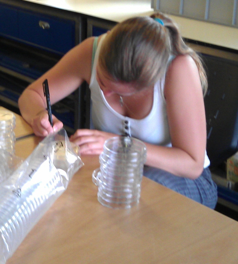
Michelle studies Earth Sciences at the VU-Amsterdam. With her ever-present smile she takes on any assignment. Be it filtering water, sampling sediment cores, labelling petri-dishes, or exchanging dust filters; she’ll face any challenge.
|
|
|
 |
 |
|
7 October
Today at 4AM we arrived at the first deployment position. We started with a multibeam study to search for a suitable (nice and flat) position to drop the mooring.
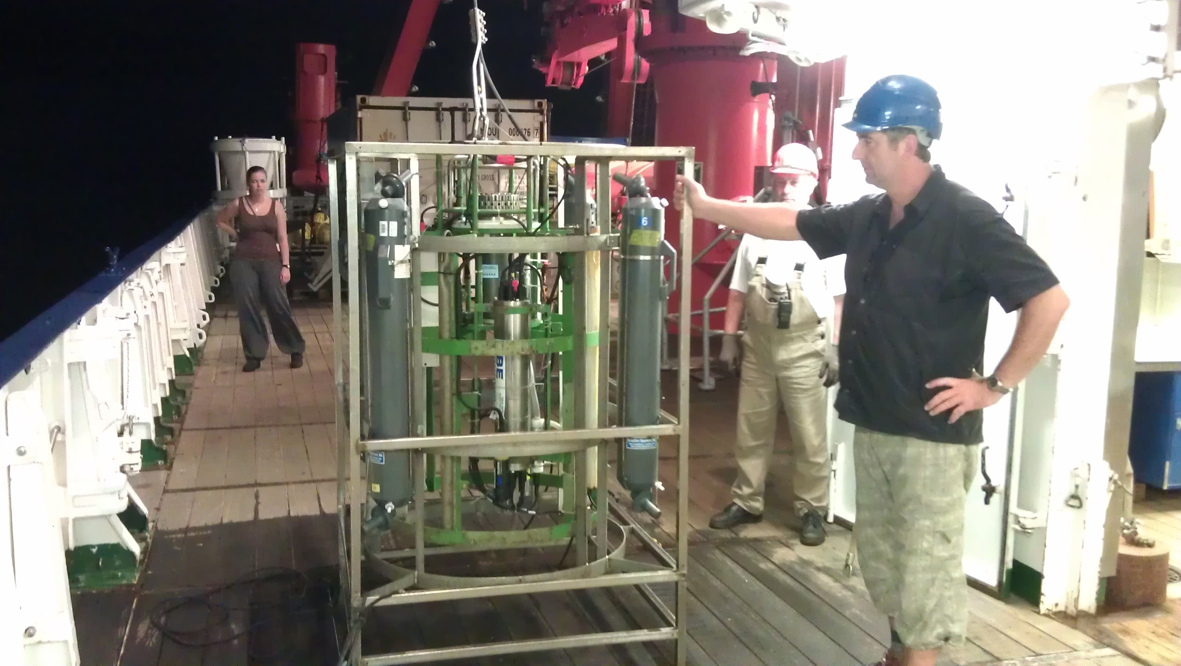
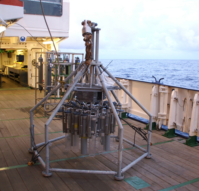
We then continued with a CTD (a device to measure the temperature, depth and salinity of the water) and sampled water from different depths.
On this picture Bob is holding the CTD frame, directly next to his hand is one of four grey bottles that can hold 12l water.
The next instrument to go down was the multicore (see below for some pictures), and finally the mooring itself. All in all we ready at 19.00; a long day but everything went very smooth, so it was worth it!
|
|
|
|
|
 |
 |
|
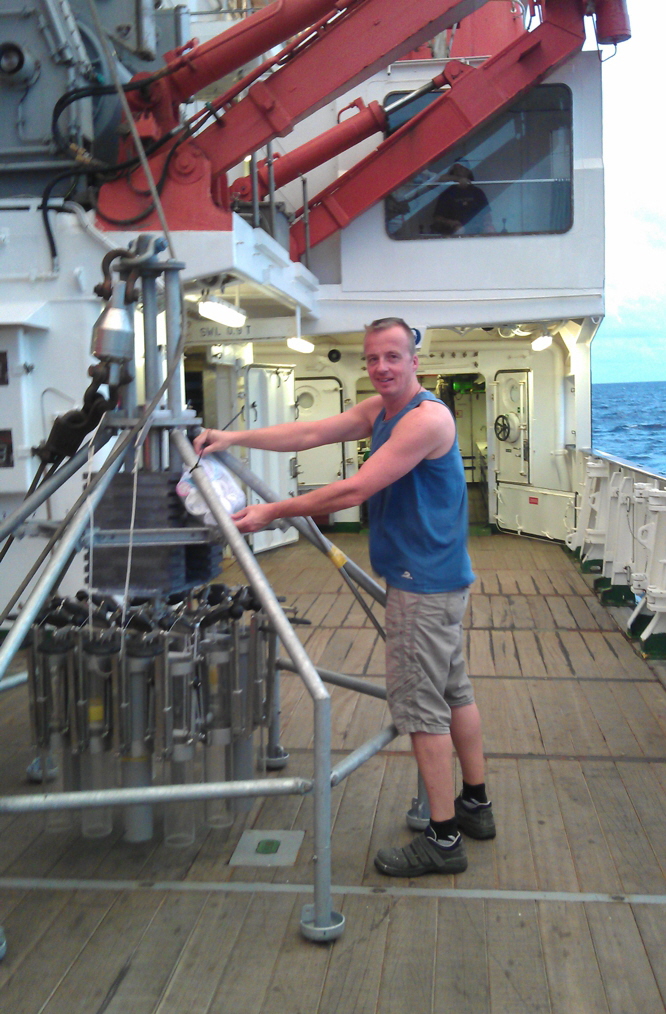
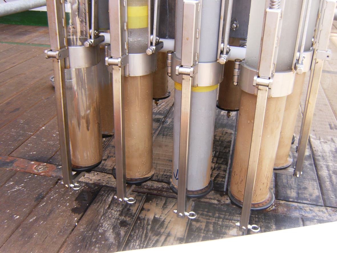
This is me, standing next to the multicorer. With this device we can sample the sea floor using 12 pipes of about 1m each.
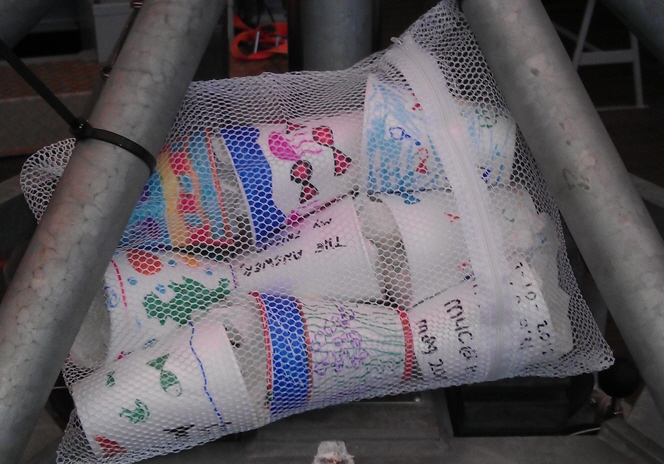
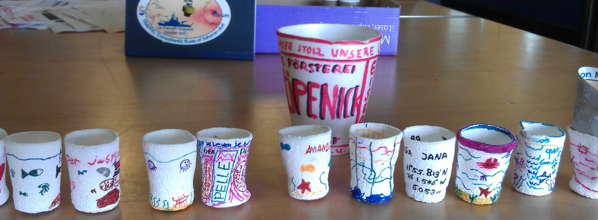
We fixed a net to the frame which holds 9 styrofoam cups, decorated by kids from the primary school `De Fontein` on Texel.
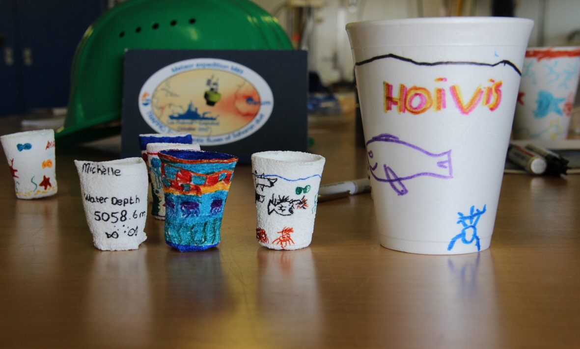
The multicorer went down to >5km, where ambient pressure exceeds 500bar. In the picture on the right one can see what this pressure does to the cups! All the air is squeezed out from the foam, and they get pretty small!. The decorations are still intact though.
to top
|
|
|
 |
 |
|
8 October: Dust is in the air!!
Below you see a satellite image (from NASA’s earthobservatory website) which shows a dust storm blowing from NW Africa over the Atlantic Ocean. This dust storm occurred yesterday and it’s coming right towards us!
We couldn’t have wished for more!!!
|
|
|
 |
 |
|
 |
|
9 October
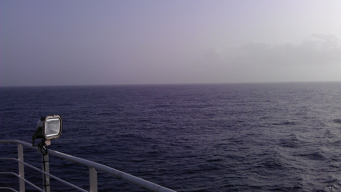
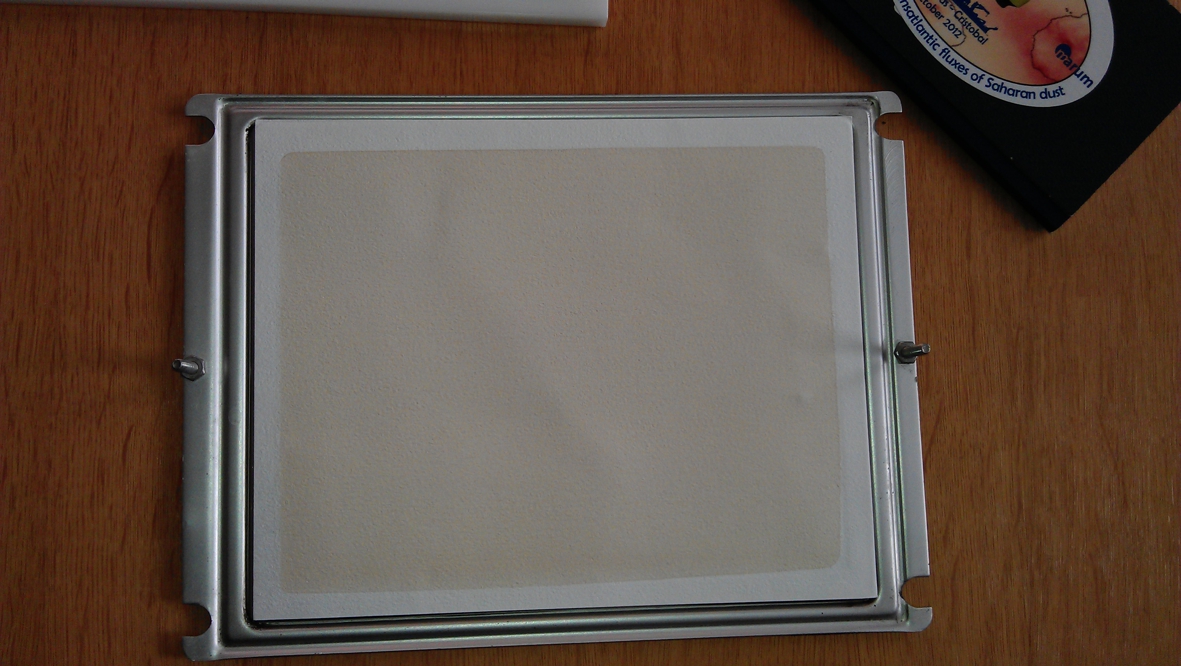
Here you see the hazy view towards the approaching dust cloud.
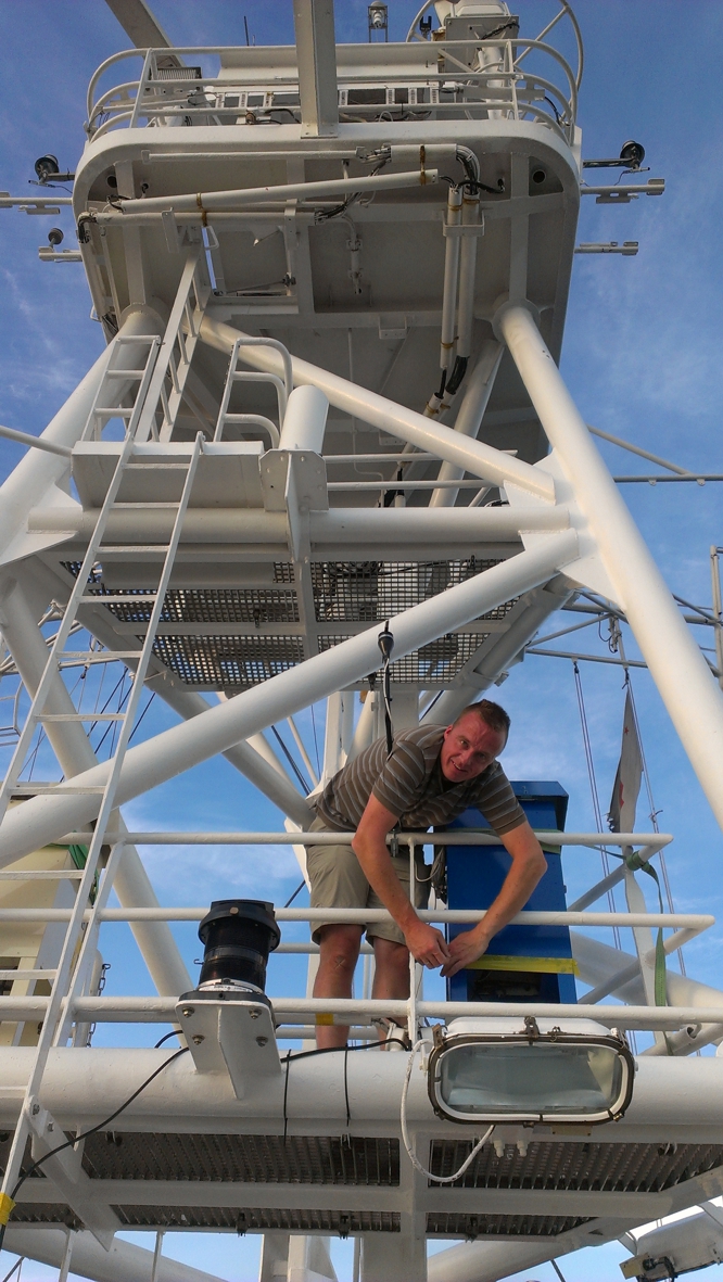
This dust is nicely collected with our dust samplers that are standing in the tower above the ship’s bridge. The coloration clearly shows: this is dust! With the satellite images, the onboard collected atmospheric profiles (the German weather service launches weather ballons twice a day!), and backward trajectory calculations we will be able to pinpoint the source of the material.
to top
|
|
|
 |
|
|
 |
 |
 |
 |
 |
|
11 October
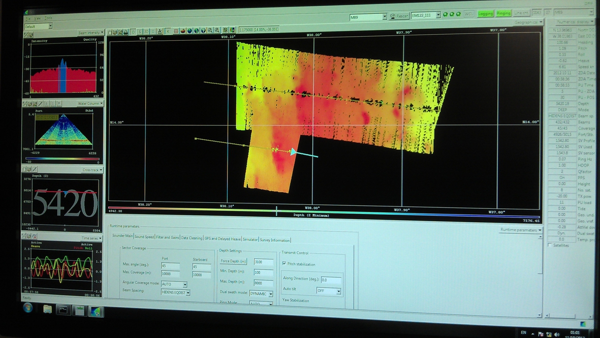
Before we deploy any instrument, it is good to know the water depth. However, for the moored sediment traps, it is of vital importance to know the water depth as the buoys might implode when exposed to too much pressure (= too great depth).
Before the cruise we had guesstimated the water depths based on available sea charts. However, these appear not to be very accurate, simply as there is hardly any marine traffic here. Besides, with all depths >4000m it’s deep enough anyway for ships not to get in trouble...
Here you see a picture of the multibeam-screen. This device measures the depth very accurately. Fortunately we managed ot o find a good spot for our mooring M2 at 4800 water depth.
to top
|
|
|
|
 |
|
|
 |
|
|
 |
 |
|
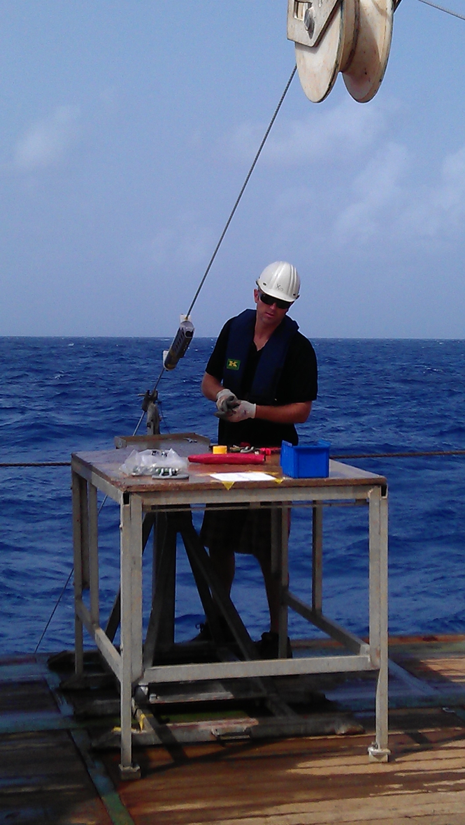
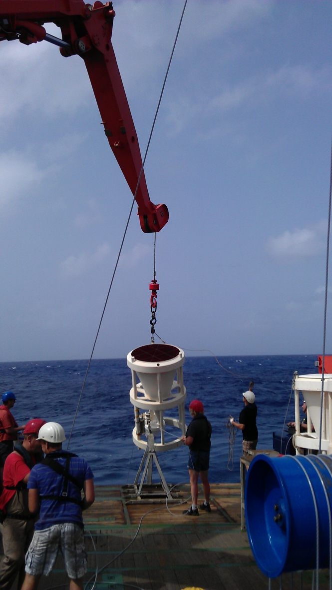
Deploying a mooring is really team work: it involves a crane, a winch, the A-frame, which are all operated by individual people. Besides, all instruments have to be fixed to the cable, in the right position as well as in the right order!
Here you see how a sediment trap is deployed. It’s too heavy to lift by hand, so it requires a crane.
On the right you see Yvo standing at the deployment-table, a typical NIOZ-invention: it contains a hook with which the cable can be fixed just so that one does not have any tension on the cable whenever an instrument is attached to it. This is not only very practical but also safe.
What one cannot see on the picture is that the ship is rolling and heaving in all kinds of directions. For that reason all that are working near the ship’s edge are obliged to wear an inflatable life vest.
to top
|
|
|
|
 |
 |
|
All our moorings are deployed starting from the top: the top buoy first, the anchor last. This whole procedure has been prepared at NIOZ where the right order of instruments and proper lengths of cable were determined. Since most instruments require power, they rely on batteries. This is another reason why it is of vital importance that someone (here: Bob) keeps a close and critical eye on all tools that are put over board. He checks which instruments, in what order, if they are switched on
at all, and e.g., if the lids have been removed from the sediment traps so that they can collect sediments at all....
to top
|
|
|
 |
 |
|
11 October
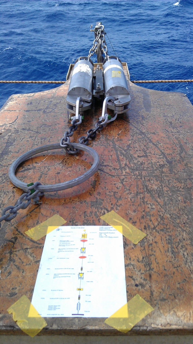
Maybe the most important part of the mooring is the part that makes sure that the instruments can re-surface after a year.
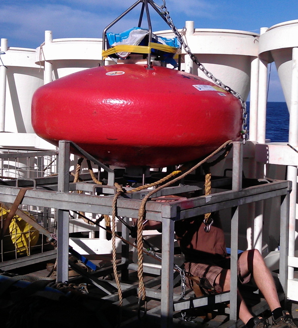
The orange smarties create buoyancy, countered by the anchor, which is meant to keep the whole thing in place. The connection between these two end members is the so-called releaser.
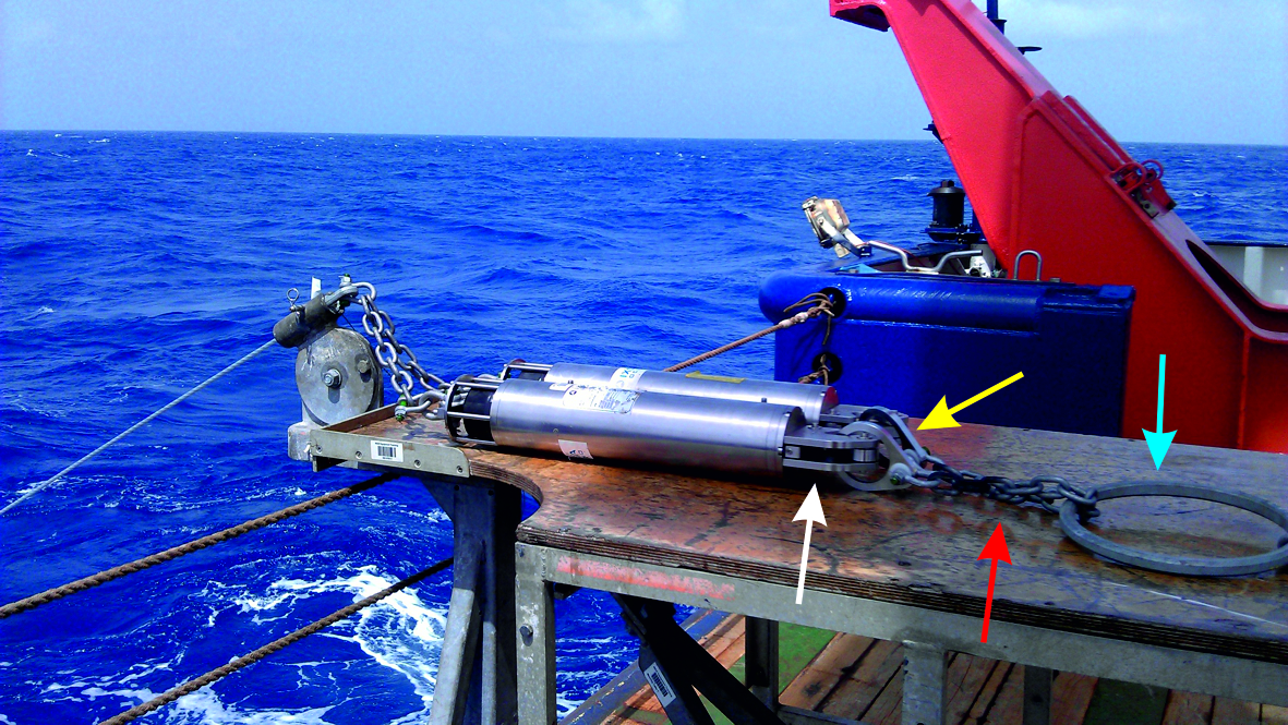
Here you see two of these releasers (silvery tubes) on the mooring table. At the bottom of the releasers there is a hook (white arrow) that holds a shell (yellow arro). After a year, the releasers get the command to let go of the shell so that the smarties can draw the whole string to the ocean surface.
However, sometimes the releasers malfunction due to e.g., a power/battery problem. For security reasons, the two shells are fixed to a chain (red arrow) which is looped through a wide metal ring (blue arrow). In case one of the releasers refuses to let go of the shell, the other one can still make sure the anchor is released by pulling this chain through the ring and the mooring can surface after all.
|
|
 |
 |
|
11 October
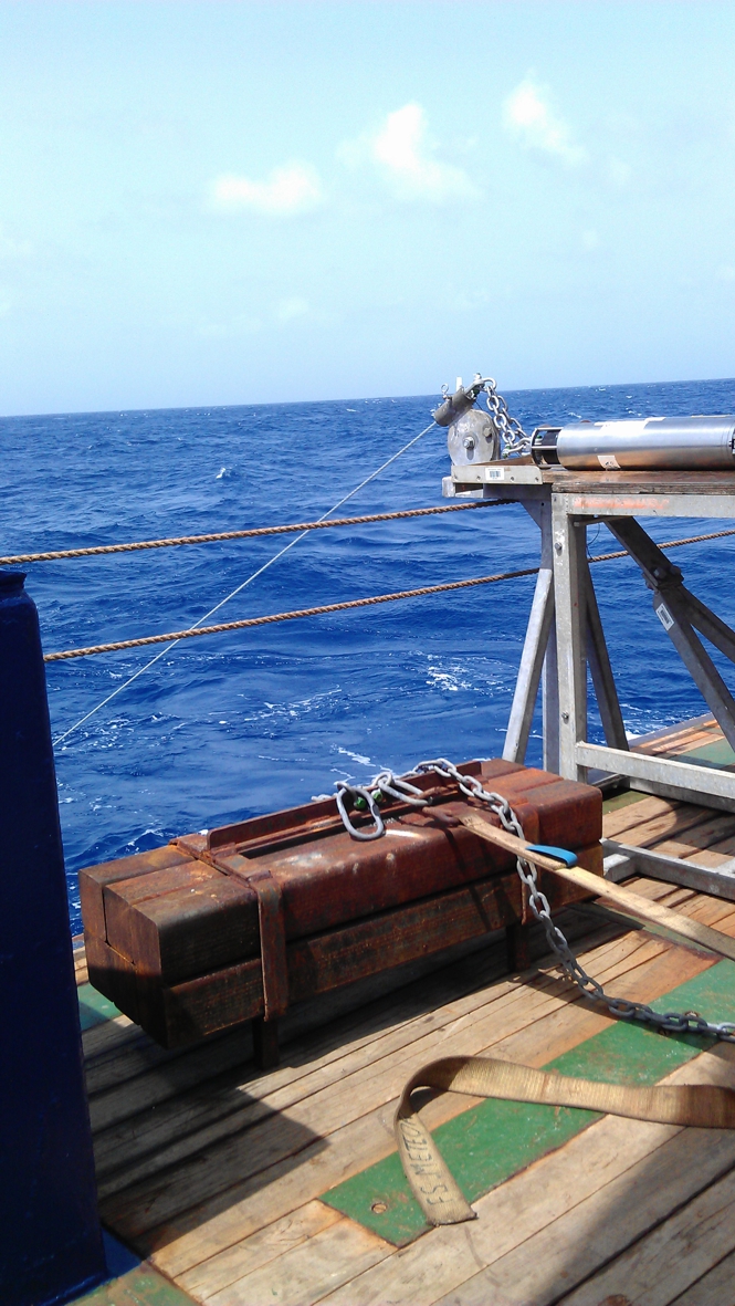
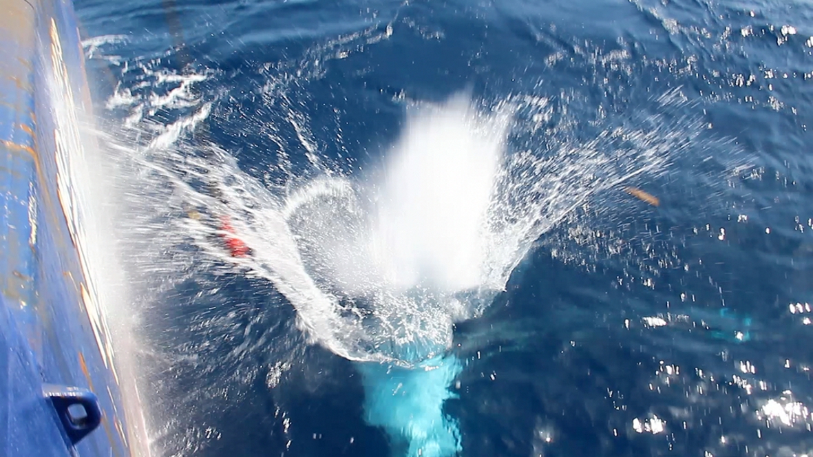
The very last part to enter the water is the anchor weight (here 800 kg), preferably with a big splash!
to top
|
|
|
|
|
 |
 |
|
12 October
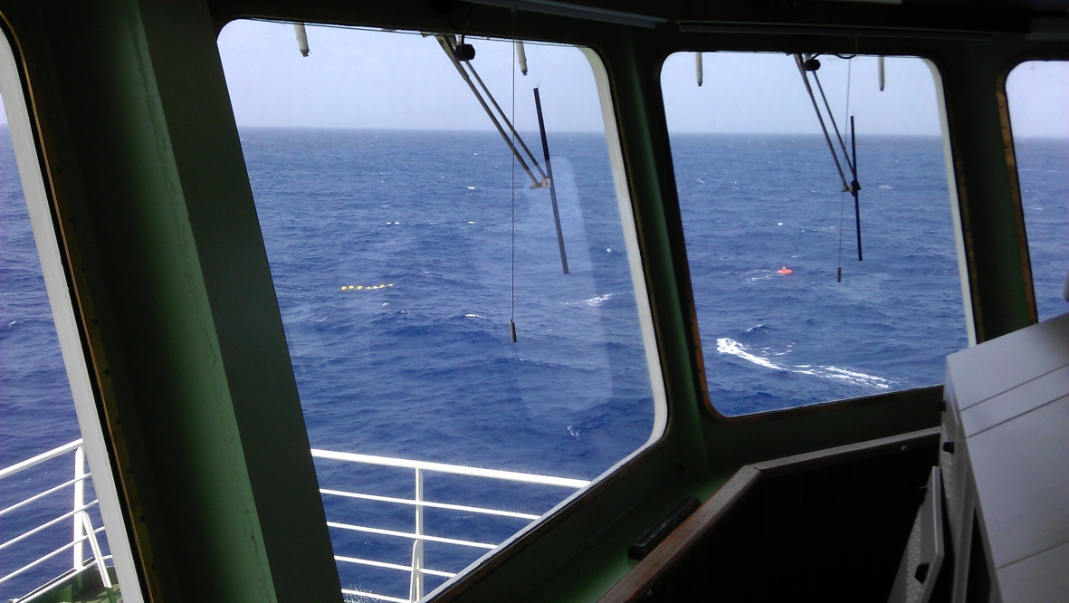
The anchor obviously sinks fastest, the last thing to submerge is the top float/smartie. It is very important to know where exactly the mooring is finally located, therefore we always try to find the top floats while still at the water surface and watch them go down.
As the ocean is almost 5km deep here, it takes a while before the anchor is standing on the sea floor. At station M3 it took more than an hour. With a kind of remote control we still communicate with the releasers; they send out a signal that we can hear with a hydrophone. This way we can also determine where exactly the mooring is positioned using at least three of these soundings and triangulation. So far, this has worked really well: the three moorings we deployed so far are exactly there where we wanted them!
to top
|
|
 |
 |
|
14 October
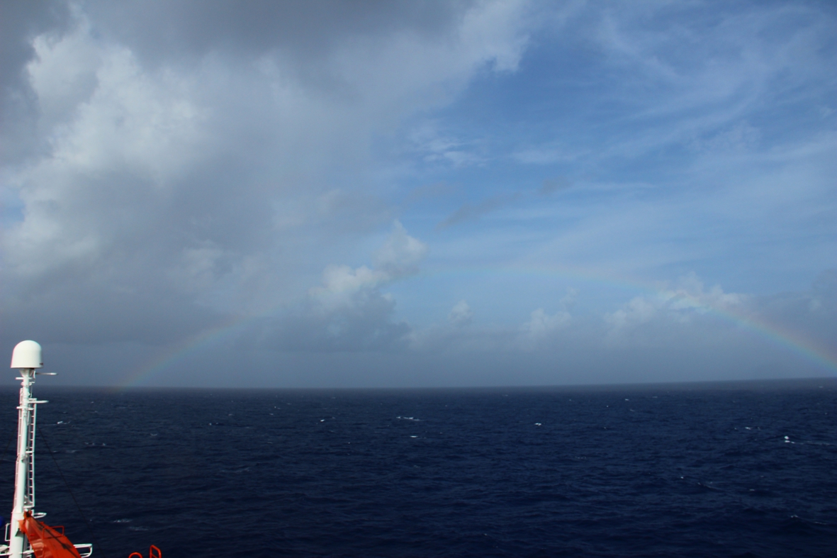
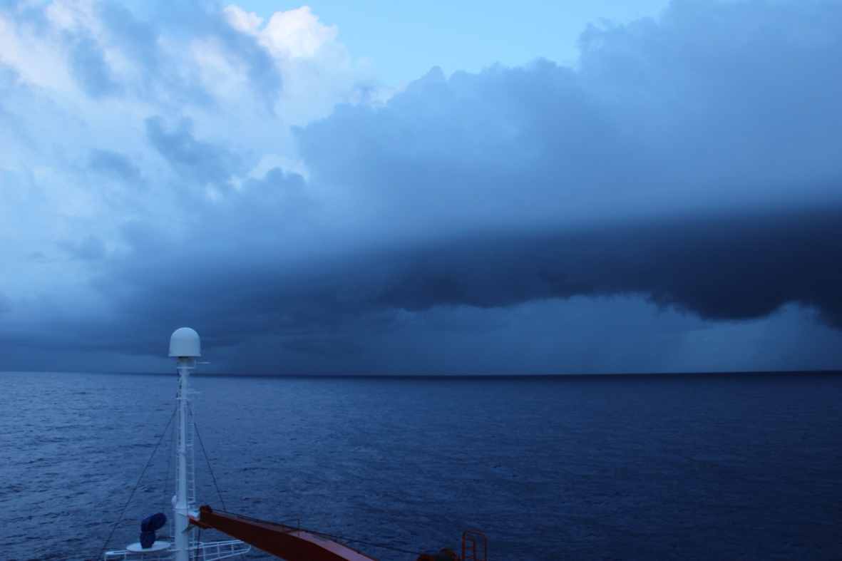
Today we’re sailing quite close to the ITCZ, (InterTropical Convergence Zone), which is the area where winds from the northern and southern hemispheres meet. This convergence is accompanied by rising air, causing spectacular clouds to come about but also they drop a lot of rain.
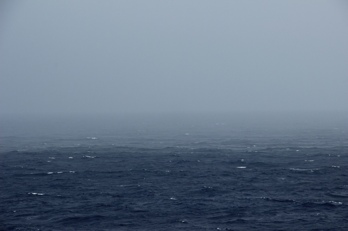
The decreased visibility is in this case unfortunately not the result of dispersed Saharan dust but of water droplets instead.....
The photo on the left was made looking back from the stern of the ship. The photo on the right was made from the bow where the rain and sun caused a nice rainbow.
|
 |
 |
|
15 October
Today is a very busy day as we’re on station M4. This means a full program of multi-beam survey, CTD and water sampling, multicore and deployment of the mooring.
Every time a multicore is deployed, I fixed a net with styrofoam cups to the frame. These cups were decorated by the children of Britte’s class at the primary school “De Fontein” in Den Burg, Texel. After the cruise they’ll get their cups back and I’ll explain to them how the immense pressure (about 500bar) that is caused by the 5000m water depth, squeezes out all the air from the foam....
The big cup shows the original state.
|
|
|
 |
|
|
 |
 |
 |
|
16 October
As yesterday was completely filled with station M4, the weekly safety drill that normally is held on Mondays was postponed to today.
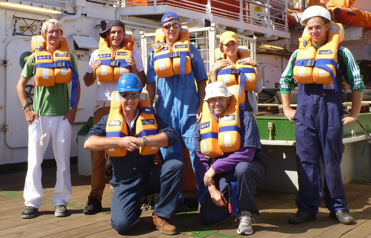
For the scientific crew such a safety drill basically comes down to getting your life vest and warm clothing and make sure you’re not standing in the way.
Everybody then goes to deck where the general assembly point is. First, it is checked if all are here and from there on the ship’s crew tries to assemble the problems (today they practiced some fire drills) and the scientific crew is led to one of two life boats.
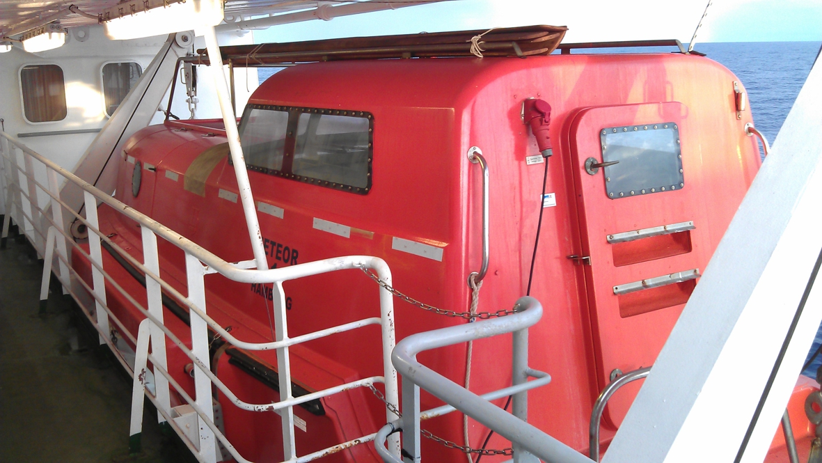
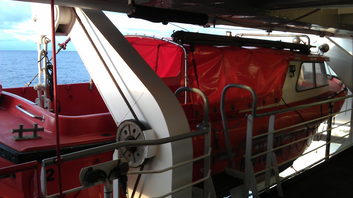
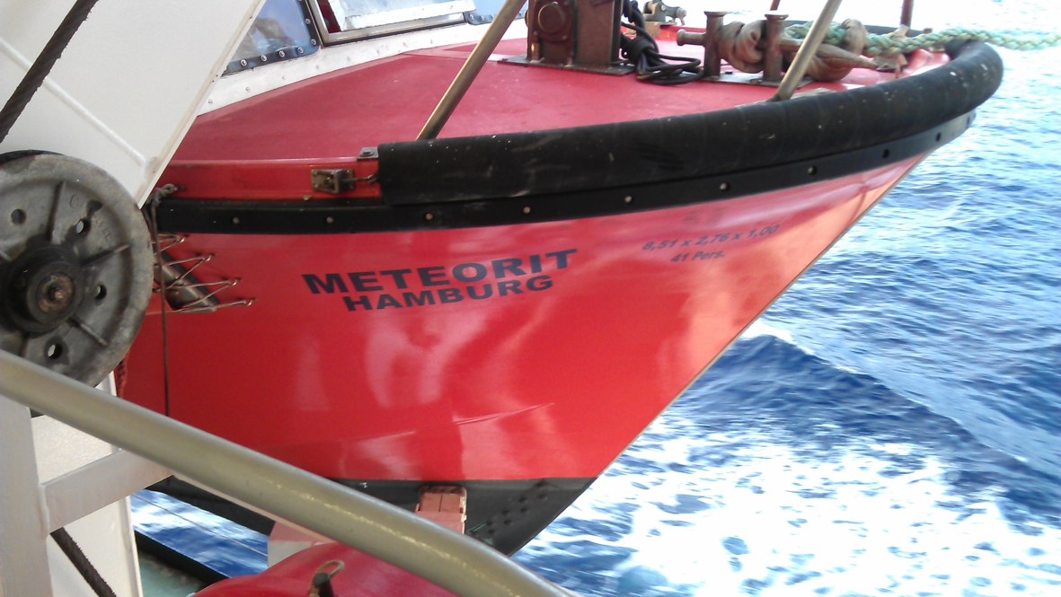
Here you see the closed life boat, fortunately we got our drill inside the other one (below) which has an open top and is therefore not so hot to top
|
|
|
 |
 |
|
 |
|
 |
|
|
|
The other life boat is called Meteorit.
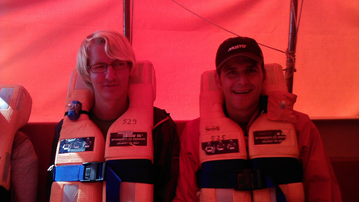
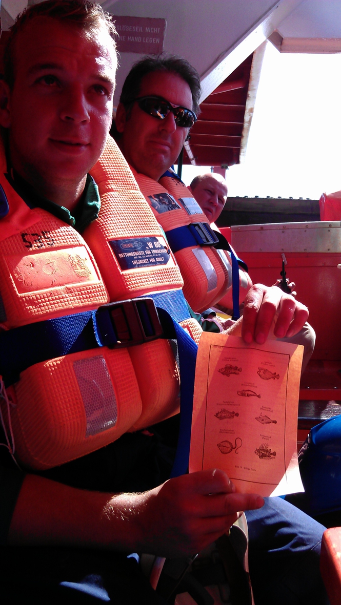
Once we got there, we all had to board and then Leif gave us some explanation on the procedures that have to be followed in case of emergency.
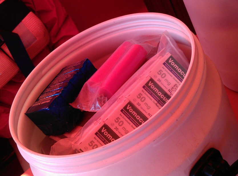
We were only ten, but this little boat should fit 41 people! On board there are all kinds of supplies of which the most important ones are survival cookies, water and seasickness pills....
|
|
 |
17 oktober
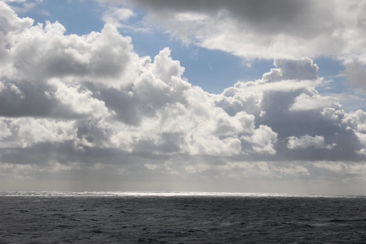
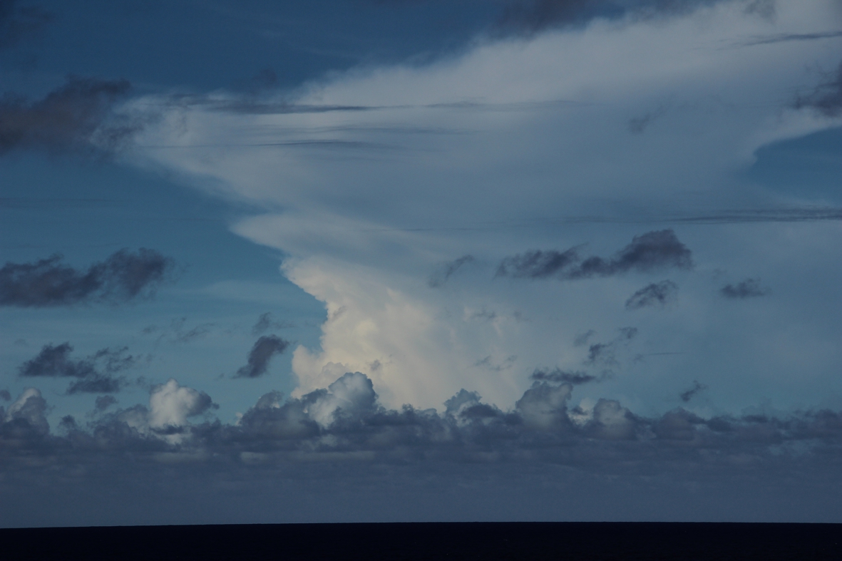
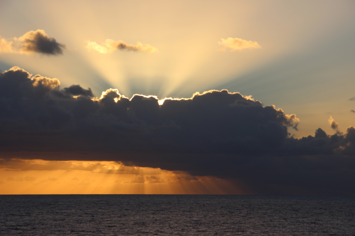
Today was a very busy day in which we successfully deployed our 5th and last mooring. As we are near the InterTropical Convergence Zone, we see the most spectacular clouds!
Nice eh!
|
 |
 |
|
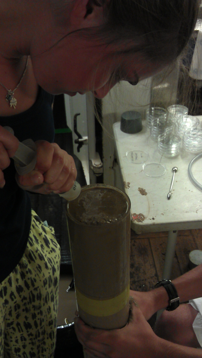
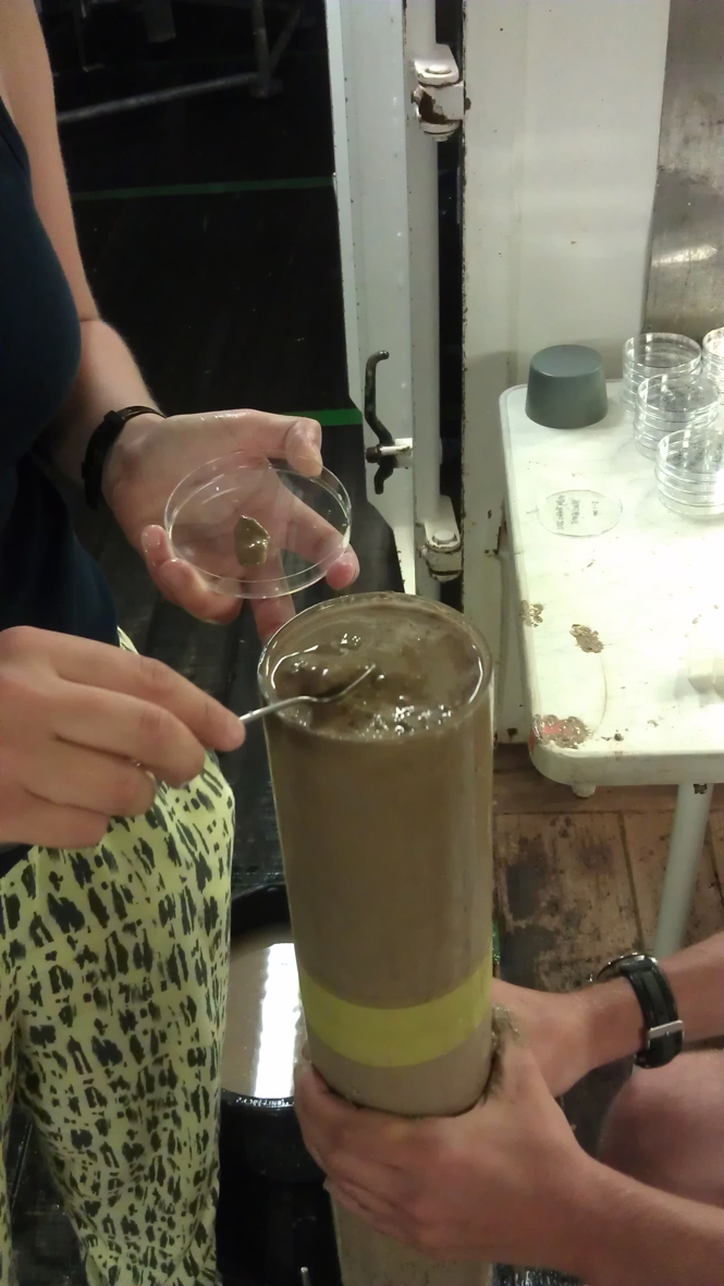
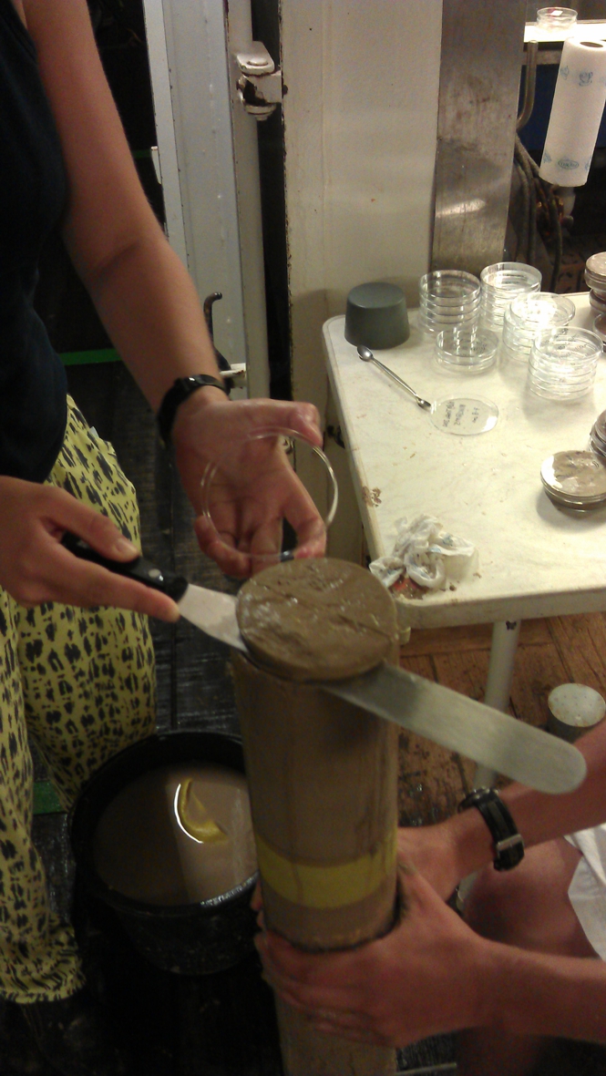
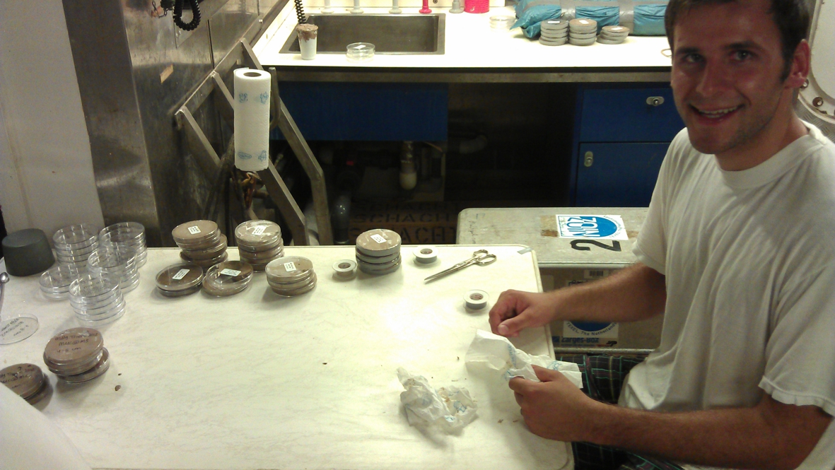
This is Matthias, who, together with Akio, is helping us sample the core. You also see the petri dishes, partly filled with sediments, to be analysed back home in the institute. Despite the hour (on this picture it’s already 4 AM) Akio and Matthias are still cheerful and very welcome colleagues!
|
 |
 |
|
18 oktober
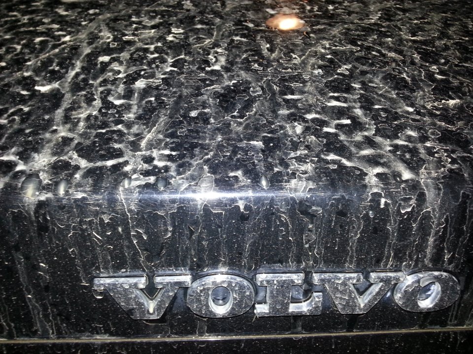
One doesn´t need to go that far to study Saharan dust! Today, a big cloud of dust reached northern Europe. This material originates from Algeria. (Linkto Dutch site)
By the time the dust reaches Europe it is so fine grained that it can only come down with rain drops. If you have enough of it, it may spoil your newly-washed car... :-
|
|
|
 |
 |
|
21 October
We were very lucky with the weather during this trip: tropical storms were around us but they didn’t affect our program.
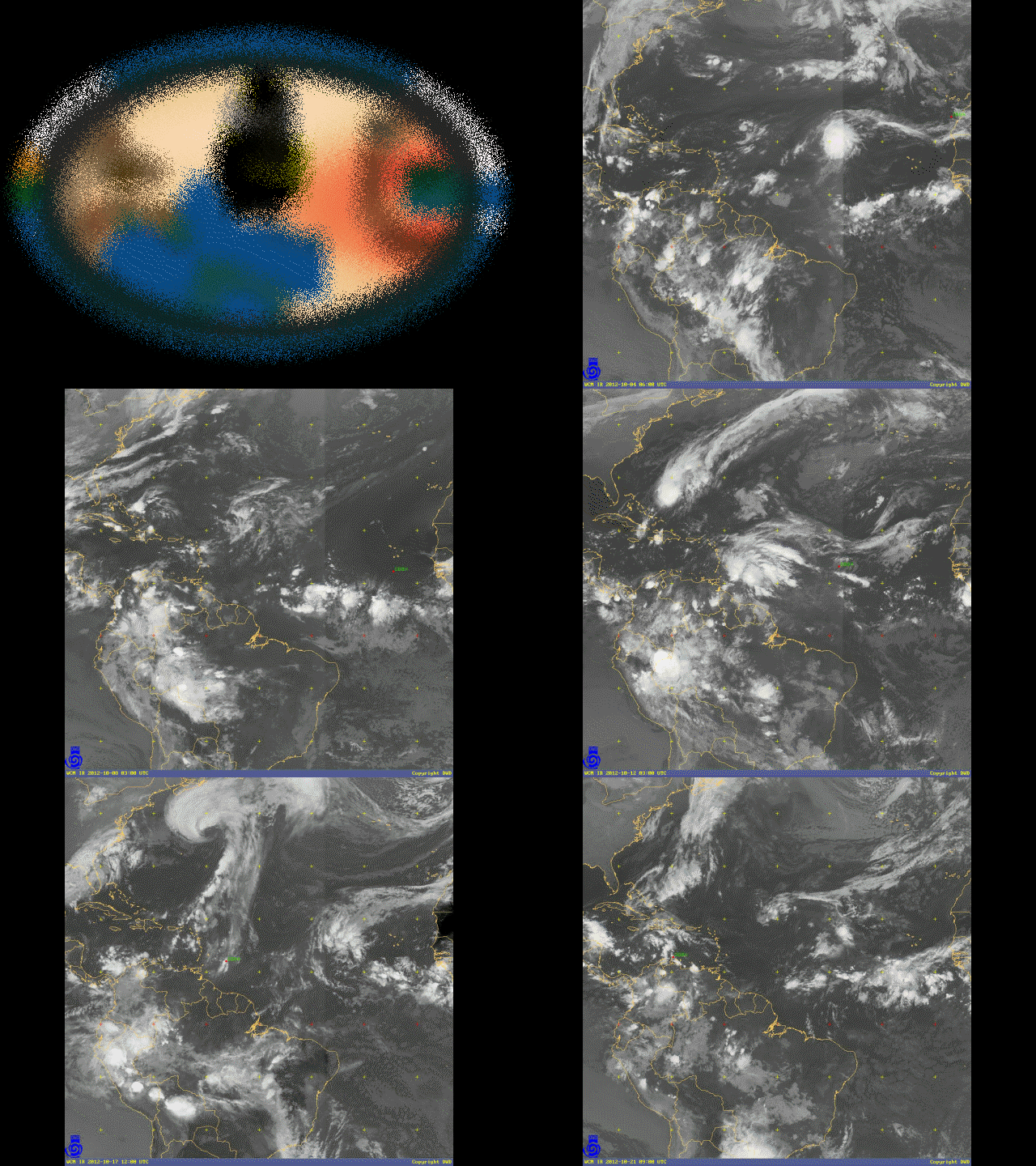
The animation here consists of 3-hourly satellite images in a sequence; they nicely show how tropical storms arise from the band of clouds in the InterTropical Convergence Zone.
It also shows the position of RV Meteor and you can see how we sailed, where our stations were, and how our last transit into the Caribbean went really fast!
(The video is 30MB and may take some time to load)
to top
|
|
 |
 |
|
22 October
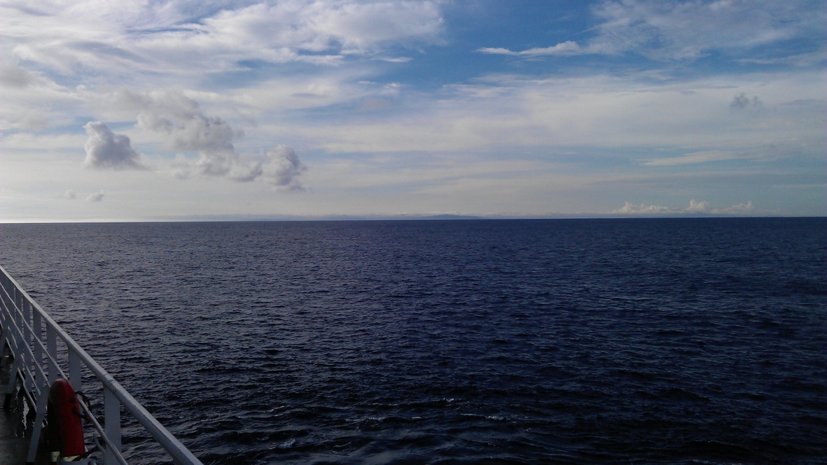
Land in sight! In the far distance one can just discern the coast of Colombia....
|
|
|
|
|
 |
 |
|
23 October
Now that the scientific program is finished (although we still have to sort out the data and write the cruise report!) there is some time to do other things like: a tour through the ship’s interior.
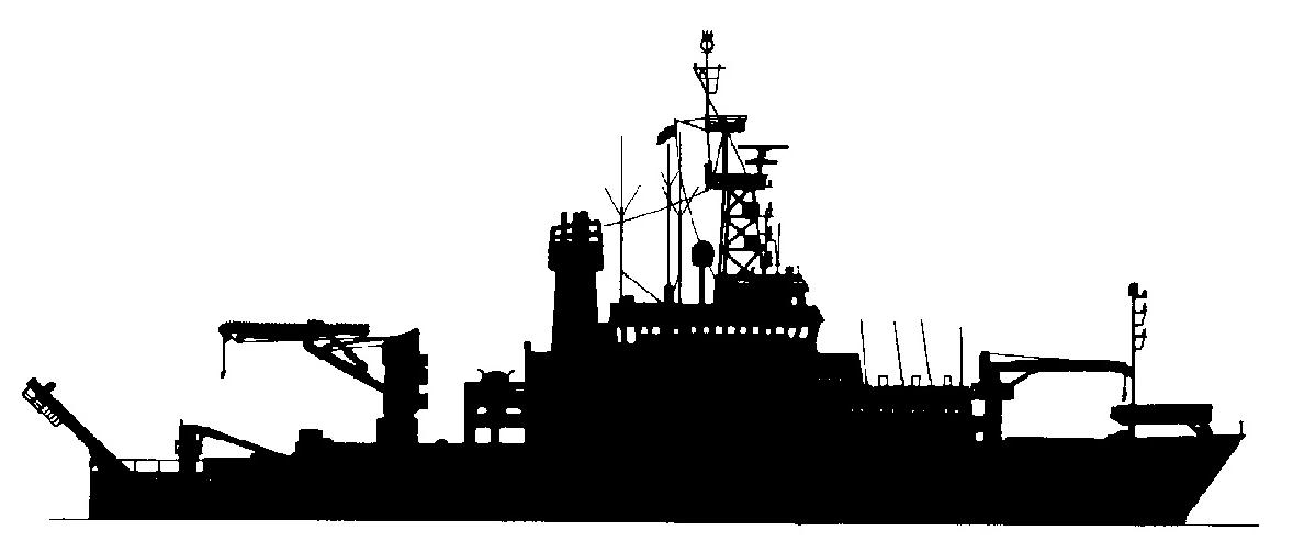
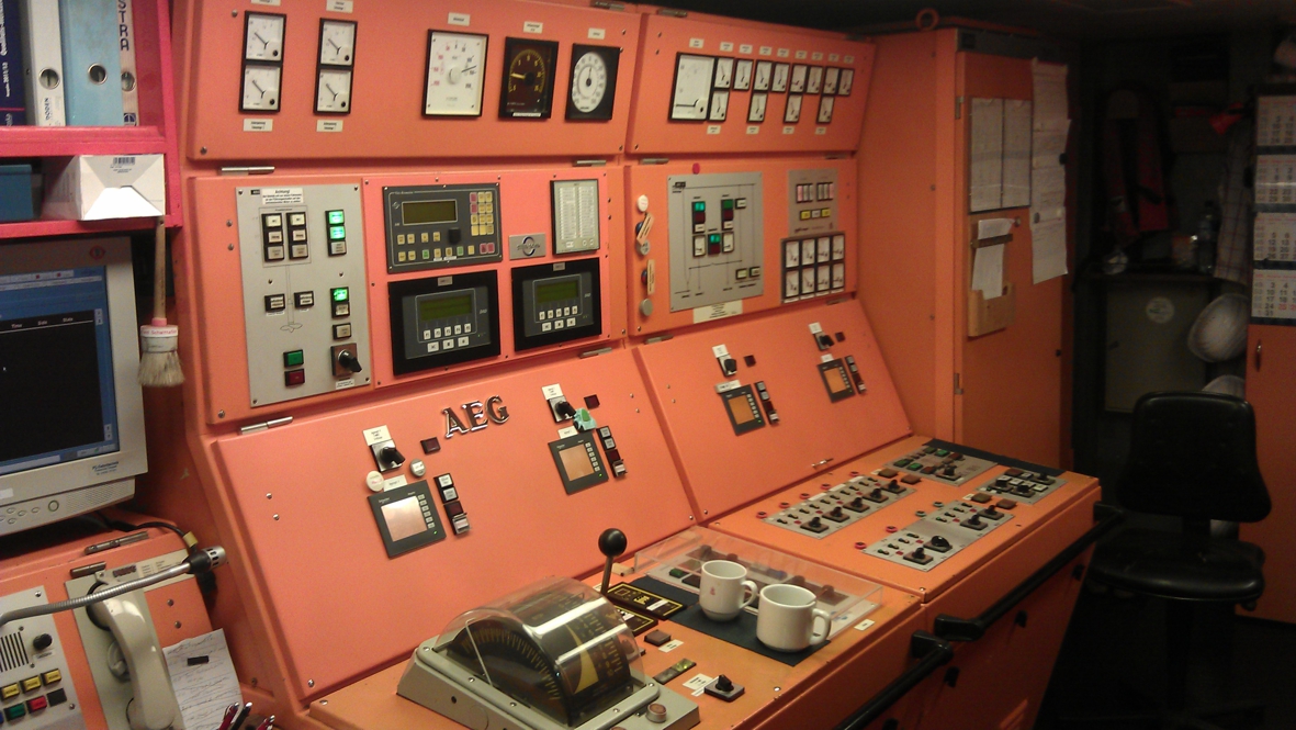
Here you can see the engine room. The Meteor is a diesel-electric ship, meaning that power is made with diesel engines, and the power is used in an electro motor that drives the propellor of the ship.
The more power is generated by the 4 diesels, the faster the ship will sail. Meteor´s max speed is 13.5 knots. As we don´t need to go on top speed all the time, only two diesel engines are being used, which still result in a speed of 12 knots!.
Fuel consumption is about 13.000 liter per day, and thanks to the 450m³ fuel tank, Meteor can sail for about 5 weeks without port call.
to top
|
|
|
|
 |
 |
|
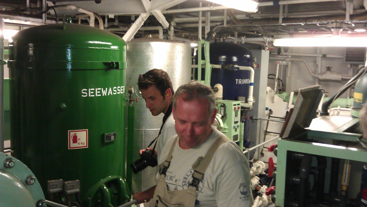
Drinking water is made onboard by pressing sea water through a membrane. This membrane keeps out all salts and organisms living in the ocean.
Per day, 20m³ (20.000 liters!) fresh water are produced. However, as we are only 47 people now, there is no need for so much water. Meteor´s max capacity is 65 persons.
Here you see Matthias and Peter (the chief engineer) next to the `salt-to-fresh-water´ tanks.
to top
|
|
 |
 |
|
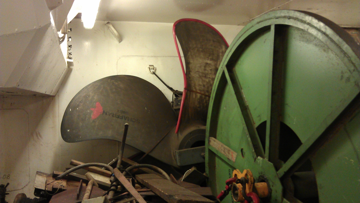
This is one of the ship´s stores, containing all kinds of spares. For example, the spare propellor, which has been stored here before Meteor´s first trip (back in 1986). Fortunately it was never needed yet so far!
to top
|
|
|
|
|
 |
 |
|
24 October
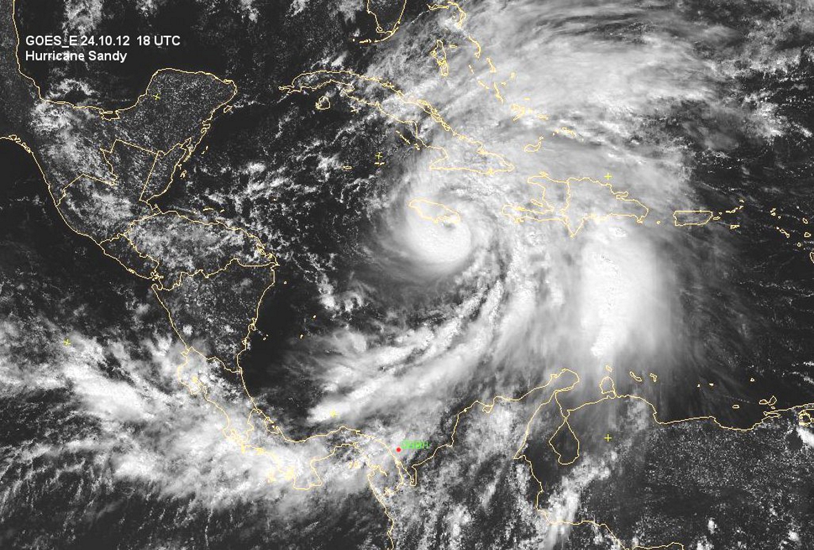
Hurricane Sandy was `born` in the Caribbean while we were around. We saw it happening: first a cluster of clouds was seen, which developed into a tropical depression, a tropical storm, and finally a hurricane.
Sandy was a tough one: wind speeds up to 70knots, and in showers up to 90knots (force 12 on the Beaufort scale)
This photo is similar to the one shown in the animation. Here one can clearly see how hurricane Sandy has developed into a hurricane with a clearly defined center (eye) and drawing in clouds from over thousands of kilometers
|
|
|


